Tag Archives: san felipe

Evergreen’s Best Drives – Road Reviews

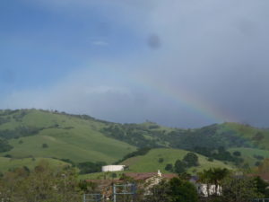
P1300723Evergreen’s rolling, green hills and stunning vistas do not only provide its suburban gold a splendorous backdrop.  These beautiful hillsides and over a hundred year old paths are endless entertainment for motorists, experienced and not, since their creation.  As a teen, I never had a mischievous side but rather an intense curiosity.  I would drive until I had to turn around in every direction.  I could get to San Francisco without hitting a single freeway, and only later did I find out I had taken a 200 year old path by California’s settlers.  I practiced on Quimby Road before driving over Highway 17 to Santa Cruz.  I’d rather be close to home and stuck than far away and stuck.  Today and throughout this research, I use these Evergreen roadways as pallet cleansers for the creativity and for a sense of what Evergreen is and was.  I review from a place of experience.
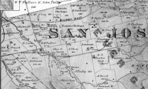
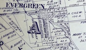
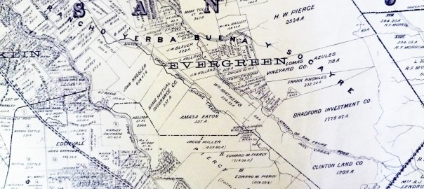
1876 MapUntil the 1880’s, these roadways were unpaved horse carriage and cattle driving passages.  King Road, Quimby Road, White Road, San Felipe Road, Chew Lane, Evergreen Road, Fowler Road, Cadwallader Avenue, Norwood Avenue and Silver Creek Road were the major roadways.  King Road would’ve taken you into Downtown San Jose.  Tully Road would’ve gotten you to Monterey Highway and either Downtown, Gilroy, San Francisco, or Oakland.  Norwood Avenue, Fowler Road and Quimby Road would’ve snaked into the hillside and provided passage for farmers.  When these weren’t direct enough, farmers were friendly enough to let others walk through their properties or boundary roads.
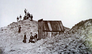
early_summitJames Lick Observatory’s necessary roadway through one of the most complicated stretches of mountain terrain made paving Evergreen’s rolling hills were no longer insurmountable tasks.  James Lick, philanthropist and business mogul, dedicated a Trust with the funds for the Observatory and Telescope in 1874.  The trip was made by horseback in 1875 to the summit of Mt. Hamilton, though no previous trail had been blazed, and won out against several Bay Area mountain peak options.  Alum Rock’s original roadway to the Observatory’s construction site was completed in 1876 for $70,000.00.  That was fairly astronomical in 1870’s dollars.  By 1879, the engineers and scientists worked the numbers and construction was underway.  The James Lick Observatory with its Alum Rock Avenue access was completed in 1881.  The early 1900’s saw plenty of paving of Evergreen roads, but it’s these roads which have not been altered in route or direction that make the best driving today.
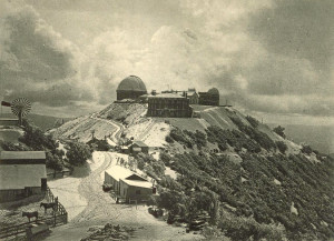
03OVER-master675Since we’re talking about it and it’s so close to Evergreen, Alum Rock Avenue is not for the car sick.  Do not blindfold your best friend and try to bring her closer to the stars.  Do not be surprised if one or both of the following happen if you do this – she vomits in your car or she gets really upset with you and convinces herself that you’re not her friend and this isn’t fun.  Alum Rock Avenue connects San Jose to Mount Hamilton most directly through the curvaceous mountainside.  The Mt. Diablo Mountain Range, for which Evergreen is a foothill, is aptly named and deviously windy.  Now also known as Highway 130, this roadway leads over the summit and into Livermore eventually, this little time to have a good time.  It’s conditions for driving aren’t always great.  There’s sometimes snow on the summit and black ice making it  dangerous.  On a good day, the constant turning roadway isn’t one of the ones I remember super fondly.  You worked to get to the Observatory, where views are spectacular.  Heavily wooded areas make photos along the way difficult, but if you can look back towards San Jose, it can be stunning.  Sunsets are beautiful.
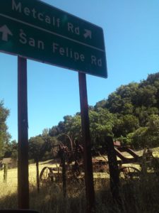
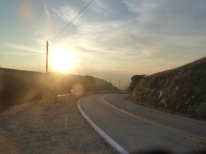
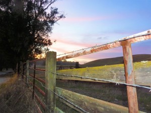
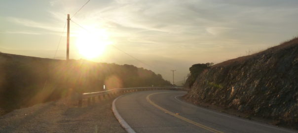
CAM10919P1300635San Felipe Road has the keys to my heart and its been well documented.  Sunsets over oak trees and grazing land are spectacular.  Reports of haunting and phantom hand prints are reported at night on the windy drive.  Do not, I report, do not do anything silly on this roadway.  Just watch it on youtube and laugh.  This stretch of road is a photographer’s dream complete with indigenous wildlife and awesome sunsets.  The curves, speed limits and turn offs are clearly marked making it a driver’s heartthrob eventually turning into Metcalf Road.  The turns and inconsistencies of elevation and scenery make it a delight for the casual driver, but think about your ambitious bikers along the way.  Deer also frequently cross.  Be careful, but enjoy.
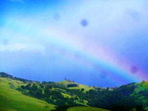
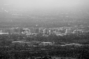
P1320017IMG_4183Tully Road is not a great drive.  Steep inclines make it awesome fireworks views and Santa Clara Valley vistas, but it doesn’t go on long enough for any decent ride.  Recent development also delays scenic gratification for photographers searching antique views.  These are great vantages of Downtown San Jose.  Similar reviews can be had of Fowler Road, as its route has been so heavily revised and cut short.  Oh, what those hills could say if we could them from up there.
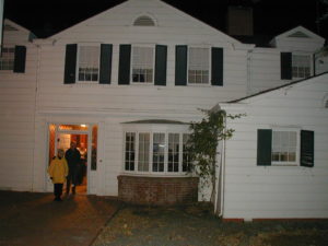
night tourDeer Valley - Joseph D. Grant County ParkQuimby Road is windy but enjoyable.  This is the perfect casual drive with four wheel drive.  Turns are sharp, but the vistas are spectacular.  Farmers and Open Space still exist in Evergreen and this short vacation drive will prove it to you.  A few miles from civilization, you’ll have to decide if you’re blood is pumping enough for one joy ride or if you’re ready to endure more.  This road meets Mt. Hamilton Road and continues into Joseph Grant Park just outside of Evergreen.  This is a place where you can appreciate the natural beauty of what was here before all of us were.  There are also ghost stories of Joseph Grant Park and easily persuaded Park Rangers with a fascination for the macabre.
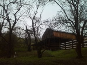
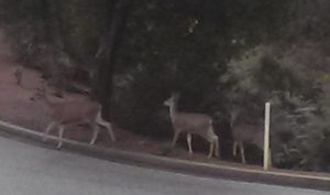
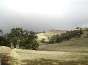
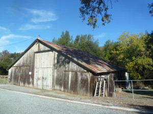
CAM09485CAM09492Those were long drives to sink your tires into.  Little known and fun-sized rides through rustic glory can be taken in following Aborn Road to the end and Chaboya Road by the Sikh Gurdwara.   These are awkward U-turns but worth the trouble.  These nearby and awesome drives host fantastic, antique barns, spotted horses, and thunderous oak trees.  Wildlife also make this a photographer’s haven.  It’s seen deer, quail, owls, turkeys and bobcats on these drives.  It’s superb.
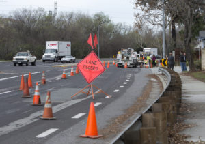
The corner of Yerba Buena Road and Edenwood Drive where 24-year-old Kiran Pabla was killed in an accident is blocked off from traffic in San Jose, Calif., on Tuesday, Jan. 27, 2015. Pabla, a bystander, was killed in an accident involving two speeding cars thought to be racing. (LiPo Ching/Bay Area News Group)I only have one truly negative driving review from Evergreen.  Yerba Buena Road has luscious turns that drivers enjoy but it dissects the Silver Creek Community.  Pedestrians,  students, bikers and motorists alike share these windy inclines and declines.  Sadly, fatal accidents occur on Yerba Buena Road due to reckless or careless driving.  It’s happened to someone near to me.  Don’t take this everyday Evergreen roadway lightly.  There is nowhere to pull over and photograph until you pass the college.  It’s reasonable scenery but nothing to write home about.  These walls across from Silver Creek Linear Park and Fire Station may be a second project once the Evergreen Mural Walk become profitable.


HARD WON – Cowboy Wisdom

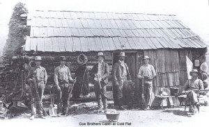
coe_brothers_smallPeter Coe Verbica carries many torches of tradition that are uniquely Evergreen in nature.  Mr. Peter Verbica is a member of the Revolutionary War fighting, Valley of Heart’s Delight rumor creating, dried apricot perfecting, cattle ranching, beautiful poetry writing, longtime Evergreen family, the Coes.  Today, Mr. Peter Coe Verbica is a successful businessman and a Silicon Valley author and poet, deriving inspiration from his long held family traditions.

P1310184Don’t worry if you feel a little confused about where the Coes actually come from.  You did see the Coe name in Willow Glen.  Coe Avenue runs right past Henry W. Coe’s home in “the Willows”, a town which became Willow Glen some time later.  Henry Coe, Sr., would move out to Evergreen in the 1860’s as the Yerba Buena land disputes starting settling.  After a poor year of farming in Willow Glen, Henry W. Coe would move the homestead to Evergreen, buying large tracks in Halls Valley and San Felipe Valley.  His sons would extend the grazing land further.  This cattle ranching track stretched all the way out to Morgan Hill, to Henry W. Coe State Park.

Winnifred Coe Verbica, who died on March 31, 2013, in the early 1950sP1300723This large Evergreen ranching property raised not just cattle, but generations of ranchers, or more specifically Cowboys.  It’s been rumored that Peter’s mother, Winnifred Coe Verbica, was bitten by a rattle snake as a baby on the Evergreen Ranch.  San Felipe Ranch, the main homestead, would be located at the Southern tip of Rancho Yerba Buena.  Various other homes and outposts are dotted throughout the ranching property because you’d be miles and miles away from home on a cattle run with men, dogs and horses to feed.  Mr. Verbica would be born on San Felipe Ranch, like his mother before him.  Cowboy Wisdom is something Mr. Verbica is well-versed in.

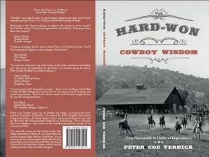
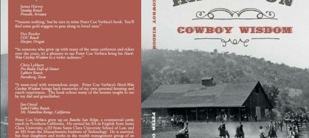
1888616_10152084007824902_1583107476_nMr. Verbica obtained his BA in English at Santa Clara University, and received his JD from Santa Clara University’s School of Law.  Though clearly well versed in city life, Peter Coe Verbica spent some time disseminating pearls in his book HARD-WON: Cowboy Wisdom.  This latest book from Peter Coe Verbica is short bursts of common sense uncommon to city-slickers.  Because of the brevity of the clips, it’s a perfect read for a busy person on the go to pick up in spare minutes.  Some of his passages made me laugh out loud in a crowded, busy place.  His snippets are in no particular order.  Mr. Verbica gives tips on cattle running, hunting, and ranch owning.  A simple kind of intelligence from self-sufficient, hardworking farmers can be gleamed throughout HARD-WON.  I highly recommend this book to anyone who has ever daydreamt about being a cowboy and lassoing their little brothers.

image1Here are some of my favorite snippets from HARD-WON: Cowboy Wisdom:

“15.  Don’t wear too big of a buckle unless you’ve earned it.”

“60.  Rides your fences.”

“78.   If someone doesn’t believe in his heart that the West is the Best, don’t trust him.”

“137.  When in rattle snake country, wear high boots.”

“193.  Don’t make fun of a ‘C’ student.  You may have to work for them someday.”

“213.  Unfenced mine shafts are the bane deer and curious children.”

“252.  Finish what you can start, but think first about what you’re starting.”

“292.  Give a horse’s hind end an appropriate distance so that you don’t get kicked.”

“300.  Eat the game you kill.”

“305.  Don’t be too proud to copy what you neighbor does, but try to make it better. – Courtesy of Barry Swenson

“370.  Don’t pen horses with barbed wire.”

“449.  There are lots of ways to skin a cat, but the easiest way is to let someone else do it.”

“476.  Think twice before trying to save your dog from a grizzly.”


Fowler Road and Creek

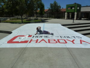
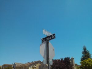
P1330025I work a lot at Chaboya Middle School, in fact its the first school I ever painted at.  People often ask, “Chaboya On Fowler Road?”  And I always say yes, but I know its address is on a different street.  Fowler Road is indeed very close by, but Chaboya is on Cortona Drive.  What’s the confusion?  It’s been redundant for me throughout my career, so I checked it out on behalf of the Evergreen Mural Walk.

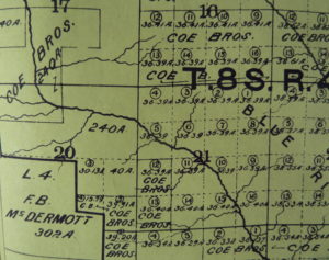
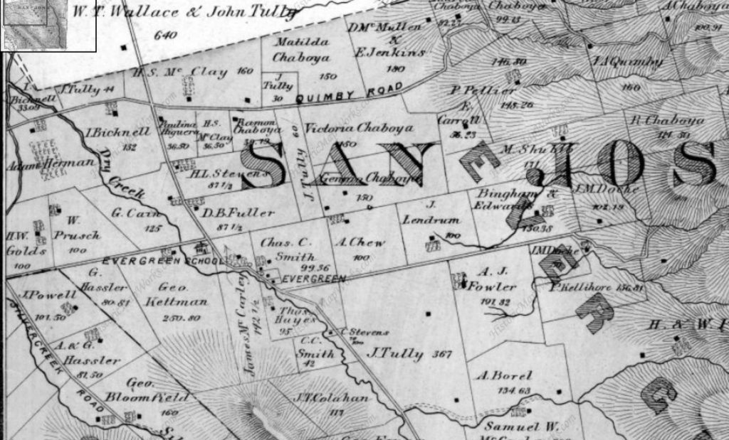
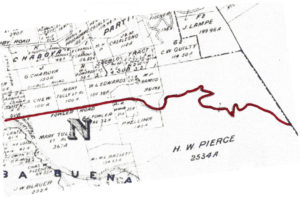
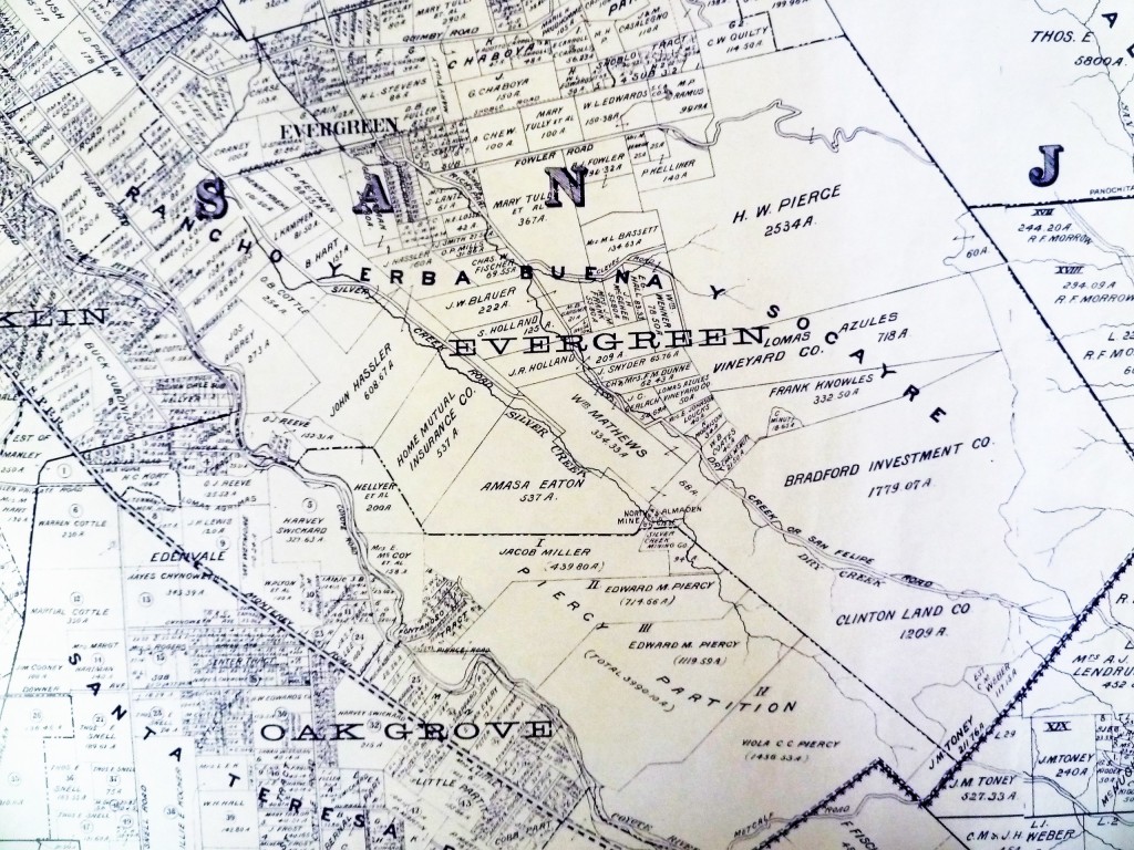
1876 MapFowler Creek was named after Andrew Fowler, whom I’m enjoying getting to know.  The street was one of the first in Evergreen, as was the man.  We’ll discuss him in further detail later.  This road was built before Chew Lane/Aborn Road’s eastward section.  This 1876 map hasn’t put a name to the street, but you can see A. J. Fowler’s property along the south side of the road.  This was William Matthew’s portion of the attorneys fees paid out by Chaboya in his lengthy court battle.

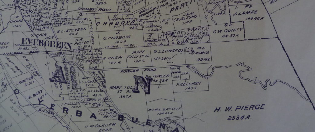
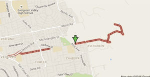
In 1899, Fowler’s name finally appears on the road.  This Fowler Road runs all the way through.  It did when I was a kid.  What happened?  This is Fowler Road’s modern path below.

Microsoft Edge

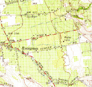
By 1956 however, Fowler is the straight thing I remembered it being as a child.  It ran east of Ruby Avenue.  This map cuts off the windy portion but it was a solid straight line.

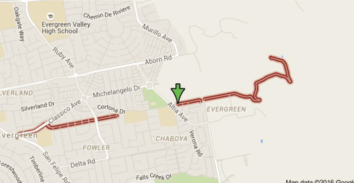
Below, Fowler Road is broken up into two parts and straightened out in portions.  There are switchbacks indicated on Fowler Road in 1899 on the Eastern zig zag which appear true on the modern map, but the road also ends sooner in the modern map.  It ends even sooner if you’re driving.  It ends at the straight spot.  This road kept going in 1899.  What gives?

fowler road san jose - Google Search

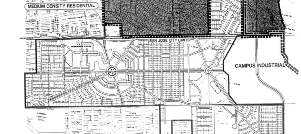
fowler road 2Here’s what gives.  New homes plans were put in place back in 1991 to get this area built out.  Before that point, in was rolling Mirassou vineyards and orchards.  Chaboya was built on Fowler Road in 1991, but the road’s path would change names as homes were built.  The new bend in the western part of the road came with the build out of the  the Classico neighborhood.  Historic homes still line the straight entrance, but then Fowler Road takes a turn towards the development and later becomes Cortona Drive.  Fowler Road would be built straight during the before 1956 but between proposal in 1991 and build out, something changed.  A portion of the existing Fowler roadway, which clung to Fowler Creek, would become Cortona Drive.  That’s the portion of Fowler which ran through P. Kelliher’s ranch in 1899.  Fowler Road then picks up on the other side of a small park on Chaboya Middle School’s East corner, where the road turns in the Western most part of H. W. Pierce’s acreage.  That’s where the arrow lands.  Today, Fowler Road straightens out, drops again and is private roadway after that.  You can see the windy road, but it appears to be shorter today.

CAM11655 Gemellos, why did you think about that?  Cobble Stone.  Now that I’ve investigated Cottle’s Cobble Stone and now Cadwallader Avenue’s fallen cobble stone bridge, I know there’s something up in areas where I find it in volume.  It’s too heavy to clear and it was clearly a favorite of late 1800’s farmers marking their homesteads.  I was in between appointments around Evergreen and I stopped when I saw it in volumes all over this area.  In fact, I traced Fowler Road’s old path following the stone.  I started at the most eastern section I could legally get to.  I soaked up some rustic Evergreen treasures then saw this row of cobble stone.

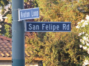
CAM11651It feels like trail markers hikers make to let you know you’re headed in the right direction.  When I found this kind of cobble stone along Keaton Loop, I knew it was roadway markers.  This was something.  I wasn’t sure this was Fowler’s original roadway, though.  It’s not lining up with my understanding of the historic maps I’ve found.

CAM11670I found it again on Yerba Buena Road.  Nothing creates perpendicular intersections up here in old Evergreen.  What am I seeing?   Every time I see this kind of rock, I know something is going on.  Just before I turned right and westward looking for Fowler Road again, I looked left and bang.

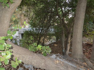
P1320018This water station was built out prior to 1956, and improved in 2000.  It controls flooding in Fowler Creek.  Fowler Creek now trickles in the winter but the homes are safe and the groundwater is saved for less than rainy days.  This is at the intersection of Altia Avenue and Yerba Buena Road.  This road looks like old Silver Creek Road, and would’ve been paved around the same time, being the same age.  This is a little better maintained and a little less traveled as a City of San Jose Water Station.   I think the stones were rolled over when the ranches turned into farms before they turned into home development.  This undeveloped area shows us what it used to look like.  That straight section of marker and present day Fowler Road is possibly the boundary of M. P. Ramus and Kellihore’s ranches in 1899.

CAM11678CAM11690So, I met up with Fowler Road at Chaboya Middle School and the marker continued.  Heading West, the Cobble Stone reoccurred at Fowler Creek Park.  Makes sense.  Evergreen used Cobble Stone to protect from flooding.  Fowler Creek would be dammed up by cobble stone in several sections.  Today, Fowler Creek only trickles in the rainy season.  That makes sense, too, because the Creek is captured by a water tower at its most eastern and uphill point.

CAM11692And then I started feeling silly because I’m excited about rocks.  I followed it all the way to Ruby Avenue and Cortona Drive, once Fowler Road.  So, what part of Cortona is old Fowler Road?

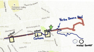
Let me get nerdy for a second, find north on each map and scale them.  There.  So, what happened?

fowler road san jose - Google Search

Maybe a little clearer still, with the paths traced on one map….

scan0167-1Fowler Road’s path was straightened through the early 1900’s then altered by the schools built to service this growing Community.  Evergreen School would have a horse tie up instead of a parking lot for a long time.  The District Office was originally located there along with the school but as time went on, a larger school was needed and the office moved.  Many District services still operate out of this office, though.  Matsumoto Elementary School was also built on the Fowler Road path.  When people ask me about Chaboya on Fowler Road, they mean built on top of Fowler Road itself.  They were more correct than I ever realized.  The cobble stone I observed was in the Yerba Buena Road portion of one time Fowler Road.  The changes that occurred over time were fairly straight forward and made the road more useable.  It’s cobble stone roots are still showing on both Cortona Drive and Fowler Road today.


Cadwallader Avenue Bridge

IMG_0007signpostPat Loomis once wrote about Cadwallader Avenue’s driving bridge over Thompson Creek that had been washed away in a flood in January 1893 in her series of Sign Posts published in the San Jose News Newspaper in the 1970’s.  Today, we all remember the walking paths connecting these neighborhoods.  We rode our bikes over wooden planks and metal rails with lush creek beds beneath us as children.  I went poking around in the old Dry Creek looking for remnants of the Cadwallader Avenue bridge because I’d been there recently researching San Felipe Road with Judge Jerry Kettmann.  Maybe he assumed I knew about the bridge, but I couldn’t envision a bridge in this “S” curved portion of Dry Creek.

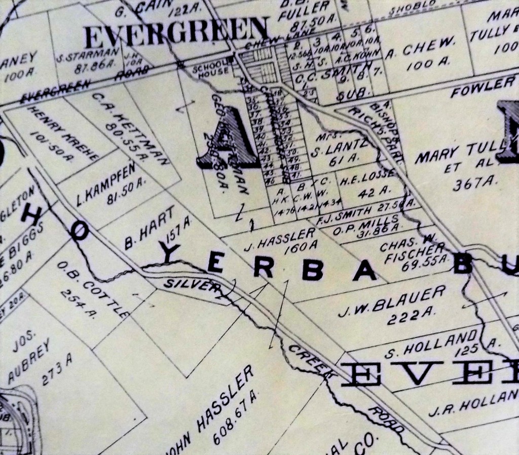
P1310185 (2)The intersection here at Cadwallader Avenue and San Felipe Road is really ground zero for Evergreen.  This was downtown Evergreen.  The first residents’ homes still stand near ground zero.  Keaton Loop, cuddled up next to Thompson Creek, was once part of San Felipe Road. Cadwallader Avenue, however, once met San Felipe Road before 1893.  Here, in the map to the right, you can see the “C” of Cadwallader on top of San Felipe Road as it crosses Dry Creek, known as Thompson Creek today.

Here, the Women’s Relief Corps, Evergreen School house and Evergreen’s first dense home development grew off Cadwallader Aveunue.  Mr. Cadwallader is fascinating as well.  Though he never would call Evergreen home, he was certainly generous towards the Community of Evergreen.  Cadwallader Avenue’s lost bridge was a new revelation along the research.  It’s neat now when I learn brand new things about Evergreen.  This Cadwallader Community seems so secreted away when it used to be at the heart of everything.  It’s certainly the second smallest parcels on the map above, a precursor to what Evergreen would eventually become.

IMG_0021Here, I found deer frolicking.  I found sun ripened wild berries.  I found really old trees.  I found the end of Fowler Creek here now under San Felipe Road and graffiti.  There is a foot bridge now.  This new bridge is the straightest line down the Avenue itself.  Today’s foot crossing is certainly very permanent and wide, but a direct line down which didn’t feel true to my materials.  I wouldn’t be too sure that’s all it was or created from what was left of the old crossing.

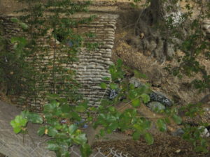
IMG_0018These sand bags would have been from any number of floods through the 1900’s.  Sadly, I wouldn’t expect sandbags or burlap to stand up to 120 years of moisture, deterioration, rainfall and overflow.  I could be wrong, though.  These would’ve had to be treated with some sort of plastic to have survived this long.   These bags protect the creek’s fragile lining at this pipe’s opening.  Over saturation would result in things beginning to slip into the creek, like the old bridge did.  This area was prone to flooding with a huge events as recent as 1969.  I do however see lots of rock, thanks to all the unsightly graffiti highlighting them.

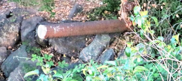
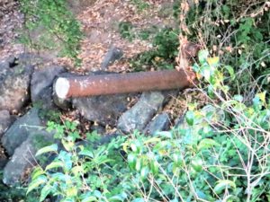
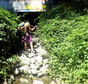
IMG_0013This large, metal pole is so random, and literally in the middle of the way creeks crossing.  Its placement is so odd that this must be evidence of some sort.  But what?  Also, observe all the rock around it.  That’s weird too.  It caught my eye as we were taking cute photos of me gathering research.  I took these in street clothes on a return visit because I just couldn’t stop thinking about this pole sticking out in the middle of the creek bed and that driving bridge.

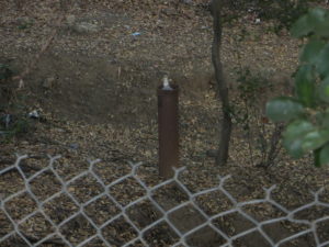
P1100123 (2)1850 - bridgeCome to think of it, I was jumping over rocks taking those pictures that day; so much so, I forwent the heels on rocks concept because it was unsafe.    It felt like Cottle’s Cobble Stone all over again, starring me right in the face.  This pole would support a cobble stone bridge like the one my imagination conjured up.  Cadwallader Avenue began with a slight bend, when today’s Cadwallader Avenue crossing is flush with the avenue’s direction, as it reaches Keaton Loop.    What would convince me absolutely that this was the collapsed bridge?  Another support pole or more cobble stone would prove it to me.

IMG_0020Done and done.

Sadly, the second pole I found also epitomizes the great need for the Evergreen Mural Walk.  The general public doesn’t know the history of Evergreen and therefore doesn’t respect the land.  It’s so sad to see the vandalism and destruction on school campuses and private properly.  It’s a dang shame, but okay.  Second pole, in the right place to support the San Felipe Road side of the bridge.  Check.

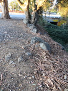
IMG_0015Then as I was leaving, I stopped to admire some giant hundreds year old oaks and enormous 150+ year old eucalyptus trees when I noticed this congregation of rocks.  This would’ve outlined San Felipe Road, now Keaton Loop, and protect horses and vehicles from running too close to the creeks’ edge, which often flooded in the early days.  This cobble stone also though lines portions of San Felipe Road in from of L. C. Smith’s historic residence and several Cadwallader Avenue properties in the same pattern.  This was a connected network of well traveled streets in the heart of Evergreen as one point.  This bridge’s significance was bringing South Silver Creek to Downtown Evergreen and further connecting it with Norwood neighborhood and San Felipe Valley.  Nearby Fowler Road would’ve also been a popular turn for the interior of Evergreen, as would Quimby Road.

IMG_0022This cobble stone street lining would end where a pump station currently sits, accommodating the flows of the creeks so as not to flood Evergreen.  It is my belief this structure, not the current foot path from today’s Cadwallader Avenue, takes advantage of the previous Cadwallader Avenue bridge’s construction.  Or at least near the opening of the bridge on the southeast corner of the three way crossing with San Felipe Road.

Jerry Kettmann would explain to me that patrons of his uncle’s bar on San Felipe Road would kiss under the bridge.  That makes a lot more sense if the bridge in within view and reach of the watering hole.  Down in the creek bed would’ve been a perfect place to hideaway and canoodle.

The sandbags I found are probably a precaution from the bridge having been swept away and ongoing flooding.  Cobble Stone is definitely a thing in Evergreen, then and now.  It’s too heavy to really haul away and its so quaint.  Why bother?  I am so glad I took a second look at this crossing.  It was really starting to bother me.


Haunted Evergreen

When asking friends what they want to know about Evergreen, they wanted to know about old haunted places around town.  When I started looking, I found lots of haunting in Evergreen.  Whether it had been a tragic event on a campus or a scary old house, Evergreen has plenty of scary stories to accompany its beautiful tales.  Here’s what I found out and investigated myself.

Mandatory Credit: Photo by Jon Santa Cruz / Rex Features (582062k) Ouija board with pointer VARIOUS - 2006

First of all, I should say I have a fair amount of physical, experiential research on this topic.  When we were kids, and my older brother’s friend got the first license in the bunch, we did this.  I found kids still doing this and chronicling it on youtube.  Ghost hunting in Evergreen is a teenage rite of passage that is alive and well.  Let’s talk about some of the ghostbusting.

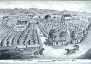
P1310652San Felipe Road appears to have the concentration of spirits in Evergreen.  I’ll explain what the sensation is and then why.  I would do my own paranormal investigation, with buddies, in high school 1999-2003 when we didn’t care who’s house it was and we didn’t know why we felt strange things in certain places.  The first time, we ended up at the Smith’s residences thinking it was the school house.  Back then, too, many of the new homes weren’t there yet and this stretch of road was fairly heavily wooded along Thompson Creek.  The Smith family homes are still privated by orange groves today.  It once looked like this with San Felipe Road running through these front yards today.

Charles C. Smith, F.J. Smith Store and Residence, Adam Herman,

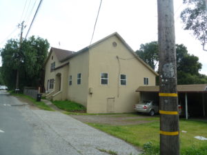
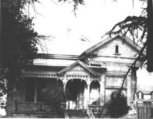
P1310650That connection is Katherine Smith and the school house is across the street from her house.  These Victorian houses are occupied today, so don’t sneak up at night, okay?  What everyone thought was the haunted schoolhouse back in the day was not.  It’s the right spot, but across the street, renovated some time ago and totally not haunted.  The two story schoolhouse still stands, and is also inhibited.  The old one story school was torn down in the 1890’s.  Reports from San Felipe Road long time residents would also confirm the absences of a haunted schoolhouse, and the lack of any known massacres, murders or suicides that result in spirits.  We, Evergreenians, do, however, have an unusual number of haunted school rumors, just none on San Felipe Road.  Unfortunately, I won’t be disclosing them here either, because students still attend school there today.

5986045244_160c2c7376_oThe looking haunted house on White Road and Stevens Lane isn’t haunted.  I would be too chicken to Treat or Treat here as a child, though I can see its jagged oak tree from my own backyard.  I’ve come to find that it is owned by the nicest, long time Evergreen family.  Again, don’t sneak up on these guys – there are no paranormal activities here.  The family purchased it generations ago directly from H. L. Stephens, its original owner, orchardist and flour mill operator.  The mill would be near Millbrook School today on Quimby Creek.  Again, not haunted.  Very original in its construction and preservation, very discrete owners, spooky oak tree and daunting gate.  What you don’t get to see if the stunning wisteria and wrap around porch.  The only spirits here are warm and friendly.

P1300592Headed south on San Felipe,  beyond Farnsworth, the road gets scary and dark.   It’s a beautiful daytime bike ride, not for novice riders, but a nighttime fright.  You will see old, rundown barns appear out of black oak trees and abyss.  This can seems scary.  Your cell reception will drop at the top of the hill.  Don’t worry.  Evergreen’s reception in general is spotty, but especially toward Metcalf Road.  You can either turn around or  go straight until you hit Highway 101 or Monterey Road.  The only need to worry is if your car breaks down.  There are too many reports of phantom cars and haunting along the roadway itself, so maybe we should spend a moment on that.

Historian’s note: Keep in mind that the invention of the printing press and its rapid improvement through the 1800’s means tragedies and crime would be recorded in newspapers at the very least.  These have not been streaming in from Evergreen or San Felipe Road or San Jose.  I’ve looked everywhere I can thing of.  I’m obsessed, too.  I can track every local news article, person, property development, purchase, division, dispute, etc.  Evergreen was downright peaceful after land disputes.

Screen Shot 2015-10-27 at 4.01.24 PMThough no haunted schoolhouse exists there, San Felipe Road may in fact be haunted.  Plenty of car accidents occur here every year, whether ordinary or foolhardy.  The haunting I like to speculate about is much older.  San Felipe Road itself can be dated back 200 years.

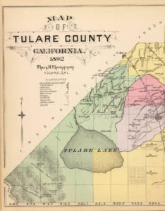
Microsoft EdgeDon Pedro Chaboya, Antonio Chaboya’s brother, would drive a band of cattle ranchers from Santa Clara and Monterey Ranchos after Native American horse bandits and most likely took the trip over San Felipe Road, furthest East and most central to the gang of ranchers.  The thieves would steal 600 head of horses, slaughter some of the animals senselessly and take flight towards Merced County.  The Bay Area ranchers would finally catch up with the bandits in Tehachapi, so probably not Ohlone Natives.  Laguna Tachi, where the capture occurred, here shown to the left, is on the border of Tulare County, Southern California.  The ranchers would return home with their horses and captured thieves.  I speculate this southeastern route is haunted because of the horses and natives who lost their lives in this event.  As a result, phantom cars can be felt.  Not phantom cars – phantom horses.  People also report hands appearing on the windshield while driving down San Felipe Road.  That’s probably our Native Americans being brought back for their punishment.

P1300635Or there’s a totally logical explanation.  Something like the coastal winds combining with low pressure systems to the South driving a wind Northward.  If you catch a gust of wind, could feel like phantom cars or horses.  If you can’t see the trees also fluctuating with the headwind, you’d be psychologically misguided and therefore spooked.  Your hands I can’t explain away.  This may be strong contrasts in heat in very specific places on your windshield from such a strong, cold headwind so sporadic in occurrence.

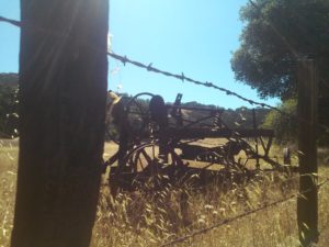
CAM10931Also on San Felipe Road but further towards Metcalf Road, you can get another scare.  If you didn’t know these awesome rusted pieces of antique farming equipment was out here, you might be frightened by their sight and traveling shadows.  With the lights on, or rather in the daytime, this old pieces of equipment are brilliant relics and roadway decorations.  At night, this looks like a creepy crawly nightmare.  Now, it your car won’t start for some reason on San Felipe Road, then you’re in trouble.
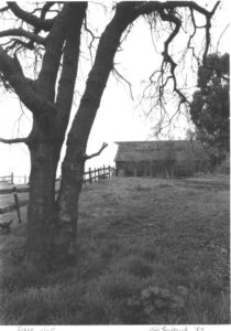
5985404833_eb2e904b36_b 6287362602_ddc1498c1c_o When I was a kid, there were so many more barns and abandoned structures.  I say kid.  About 15-20 years ago.  I’ve been on this ride several times throughout the research of this project. Things I intimately remember creeping into at night and being spooked by are gone.  They’re not there.  These structures have been documented, torn down and made room for more homes.  I find them again in archives and records.

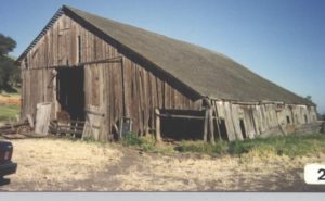
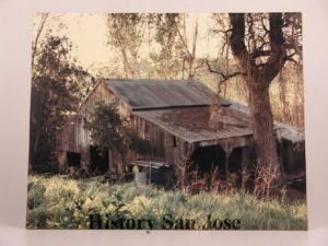
spring2012.pdfSomewhere we would enjoy screams before it was enveloped by home development is a place others also report as having been haunted.  I can’t find much of this online, but the experiential data yielded positive results.  I know I was spooked enough  once or twice to bolt out of there.  Today, it’s a historical landmark that needs some love.  Reminds me of the Wehner Mansion, also with historic designation but no preservation.  (There were no reports of spirits from Wehner Mansion except wine.)  This is how I remembered the relic.

2012234

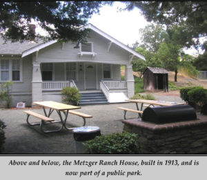
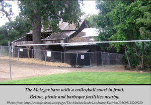
spring2012.pdfToday, the Metzger Barn still gets haunting reports but serves a dual purpose as a quasi-park.  Though secreted away, it’s open to the public.  The complex even has picnic tables and a volleyball court.  At night, there are reports of phantom rattling chains and ghostly crying observed.  I’ve also read about an experience with hanging animals from the rafters.  I’ve personally observed the heeby geebies.  I’ll not spoil this haunted tale for you.  Since I’ve ruined other perfectly good ghost stories, I won’t ruin anymore for you.

Joseph Grant Residenceuntitled2121Joseph D. Grant Park, very nearby Evergreen in neighboring Ranch Canada de la Pala, has a historical complex of structures and gives tours of the haunted main house.  If you want a frightful experience, you’ll have to sweet talk rangers or historians into coming back to work on their time off but it’s been done before.  Built in 1882, ghosts can be witnessed in mirrors, along with loud noises and footsteps were observed.   Other strange paranormal feelings would be reported by guests and park rangers alike.  Ghost hunters have enough evidence to confirm their own superstitions.

Evergreen has haunts you can see and some you can pass up on.  Metzger Farm and Joseph Grant Park seem to be your best bet for spirits.  A night drive over San Felipe Road and a misadventure up Las Animas Road are certainly spooky if that’s your thing.


Follow up – The Way to San Felipe

The Way to San Felipe, our previous article , talked all about this old Spanish Road and what it connected.  I got a little more clarity from an Evergreen Native who knows it from experience.

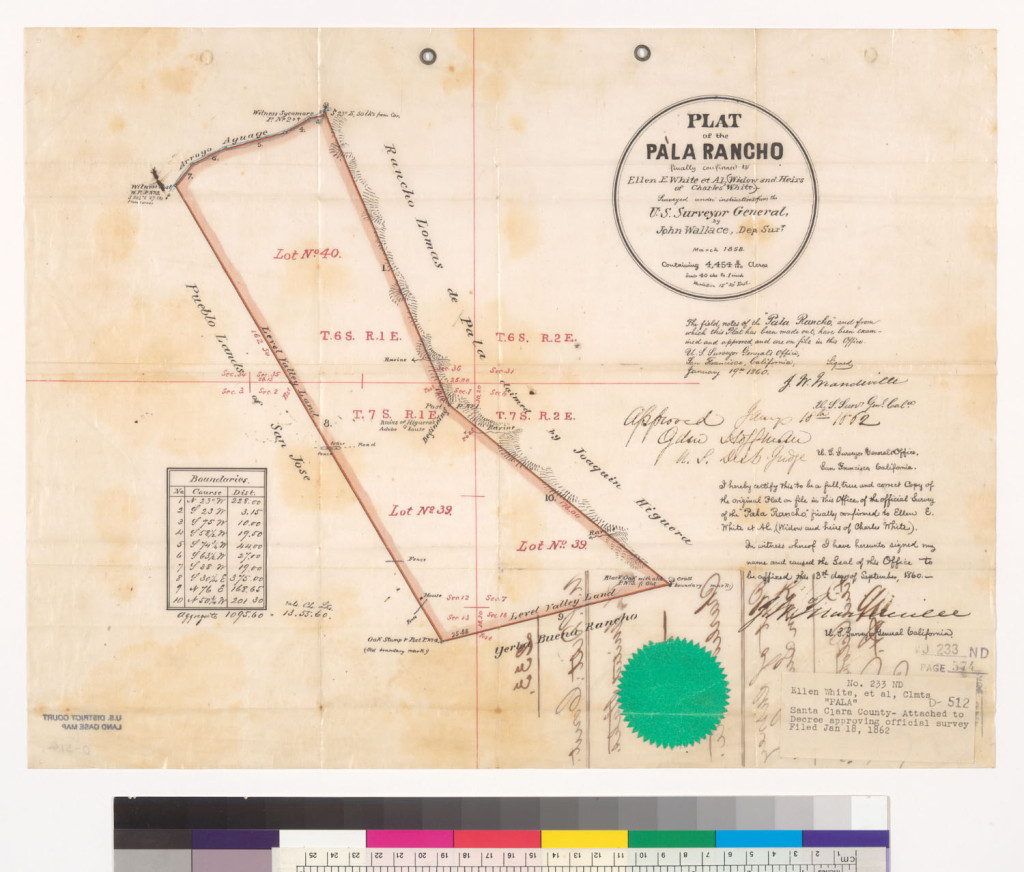
hb267nb0kh-FID7White Road changes to San Felipe as it crosses Aborn Road.  It cut in half Rancho Pala, which was purchased by Charles White, who arrived in town in 1833.  Only a sliver of this Rancho makes it into our Evergreen borders.  Rancho Pala ends at Norwood Avenue.

Further down the road, present day Aborn Road has had many names, Evergreen Road, Chew Lane and Aborn Road.  That inconsistency makes orienting yourself on different maps a little difficult.  It is at the intersection of Evergreen Road and White/San Felipe Road where the town of Evergreen really developed.  You’d never know it by the looks of it today.

Quimby and Tully Roads have switched spots and Capitol Expressway is a fairly new roadway.  This makes it rough, too, but it’s okay.  We’re talking about San Felipe Road here.

san felipe roadsPreviously, I worked the current Google map of San Felipe Road against an old Spanish Survey to Rancho San Felipe.  They were close enough for me to feel like I was looking at the same roads.  I accounted for some inaccuracies because it’s so old.  The lake is Lake Cunningham, but ought to point North and doesn’t.  The compass notes rather where water flows down from.

1876 MapAlso, in 1800’s versions of Evergreen maps, San Felipe Road travels next to a creek bed and I couldn’t think of where that would be.  The Creek is closer to Kettmann Road and the Evergreen Library Branch.  But when I sat down with Evergreen’s Judge Jerry Kettmann, he brought a little more light to the subject and old geography.  This is a 1876 Map of Evergreen.

P1310197Judge Kettmann’s uncle, Andy Kettmann owned a Saloon located on San Felipe Road.  There are some pretty awesome tales out of the Saloon, but I won’t be spoiling those or Jerry’s interview for you at this time.  His Honor comes from a long line of colorful characters, though.  He took me for a little drive and helped me get an understanding for what “Downtown” Evergreen was.  This is a Map from 1902, true to North.

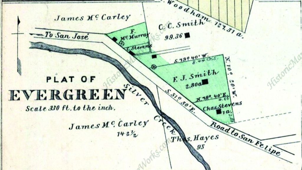
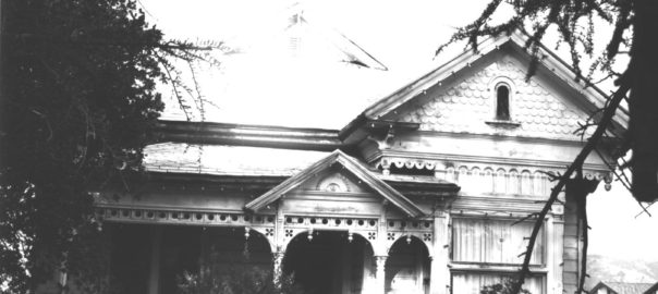
Map 004, Saratoga, Evergreen, Santa Clara, San Antonio, MountaiThe Smiths were the first family to have moved into town in 1866.  Charles C. Smith and his brother, born in Germany in the 1840’s, bought large tracts of land from the Yerba Buena land grant, with Evergreen Road dead ending at White/San Felipe Road originally.  The Stephens/Stevens family were next, making up the original Plat of Evergreen.  Francis Joe Smith owned and operated the General Store and was postmaster.  His brother was the town blacksmith, and the blacksmith shop is where Hinman’s Garage is today.  His daughter Katherine, for which there’s a school named, was a beloved teacher.  L. C. Smith’s house still stands today.  Their homes and businesses were right off San Felipe Road between Aborn Road and Yerba Buena Avenue.

P1310192Speaking of teachers, the location of the school house was a mystery to me.  From Barry Swenson’s describing of it, I still couldn’t place it.  I have photos of it, but there’s no evidence of it anywhere.  It’s here at the intersection directly adjacent to the Kettmann property.  There’s a reason.  Where the Valero Gas Station and shopping center currently sit, the Evergreen School House once stood.  The odd curvy street behind the Wells Fargo, Keaton Loop, was once San Felipe Road.  And the bridge over the Creek between Keaton Loop and the Cadwallader neighborhood was a busy path into town.  The Cadwallader Subdivisions was once of the first concentrations of developments in Evergreen.

The reason the maps didn’t line up perfectly was because this path had been revised for a more direct route with better flood control.

The way to San Felipe

We’re going way back in time for this one.  The 1700’s in fact to discuss San Felipe Road’s origins.  Rancho Ausaymas y San Felipe was a large property that encompassed all of Evergreen down to Casa De Fruta and was an extension of Mission San Juan Bautista.

Originally, the land was granted to Francisco Perez Pacheco and that land got passed down through the family.  Have you ever gone over Pacheco Pass?  In fact, the Pachecos, as landowners, gained wealth and power quickly, buying adjacent ranchos until it spanned from Santa Clara County to Monterey and Merced counties.

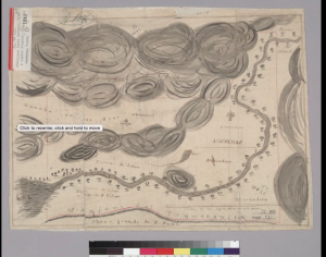
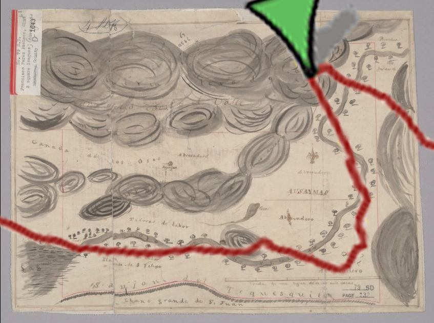
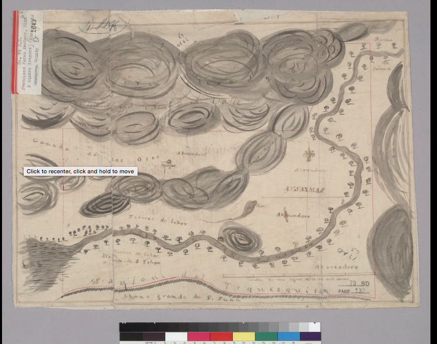
Screen Shot 2015-10-27 at 4.01.24 PMSo, when I found this awesome map, provided by the UC Berkeley Bancroft Libraries, I didn’t find it familiar and nothing on the map besides the hills made any sense to me.  I didn’t recognize the names of the landmarks.  Sanjon?  Llanitos?  What’s that?

If you can find it on the map, that’s actually the area we’re discussing, Evergreen.  Tierras de labor were homes of ranch workers, and would later become the pueblo tract.  Those hills in the center of the map following the road are the Evergreen hills and behind the Diablo Mountain range.  Ausaymas, also known as Animas, is the Morgan Hill area.  Sanjon del Tequesquida is the path to the next Rancho over, to another Pacheco family member.

This giant road through the center of our Evergreen Ranchos is the Arroyo de San Felipe or Road to San Felipe.  Wait a second.  Sound familiar?  Certainly does.  With a lake and a larger road nearby?  Hm…

So, let’s think on this.  1700’s map making wasn’t perfect.  No planes for aerial or overhead shots.  Only roads, known geographical features and lengths get noted on a lot of these maps.  Directions we not exact.  Having said that, I laid out the entire length of San Felipe Road into Gilroy and here’s what I saw.

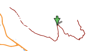
Screen Shot 2015-10-27 at 4.05.22 PMThis is modern Google day San Felipe Road and the little yellow line is the 101 and where they make a y, 85 splits off at Bernal Rd.  I have removed the topography and background.

It’s feeling familiar, but is this the same road?  The shape is similar.  Let’s test it out.

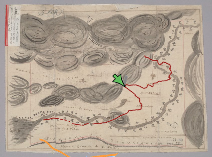
san felipe roads 1Here was my first pass overlapping the 2 images without changing anything about the Google version.   This wasn’t enough to convince me though.  Close, but no cigar.  It’s close, but there’s something else here.  I started all over again considering what I know about the accuracy of the cartography of the time.

So, I rotated, blew it up, then skewed it.  Much better.  At least this makes sense.san felipe roads

This is the majority of San Felipe road ending around Morgan Hill.  Where there’s an obvious tear in the page it approximately where White Road and San Felipe Road split. Now, there’s been a little rerouting (straightening) and paving over the last 250 years.  The difference in the 2 overlaps is the scale and direction.  What should’ve pointed North on the map actually points East.

Mount Hamilton is featured in the upper left hand corner of our map.  The Laguna is Lake Cunningham.  The Llanito are little waterways or creeks.   Sanjon del Tequesquida is currently the same path as the 101, not yet known as the El Camino Real or Mission Trail.  Ausaymas is Animas just above Lake Anderson.

Rancho San Felipe passed down to Maria Ysidora Pacheco, but with Mexican Independence, the Spanish family lost their holdings.  The Pachecos were first granted the land in exchange for governing the people.  The next family from Mexico to own Rancho San Felipe would do the same thing.  Rancho San Felipe would soon become the property of lawmen and cattle herder Antonio Chabolla’s.
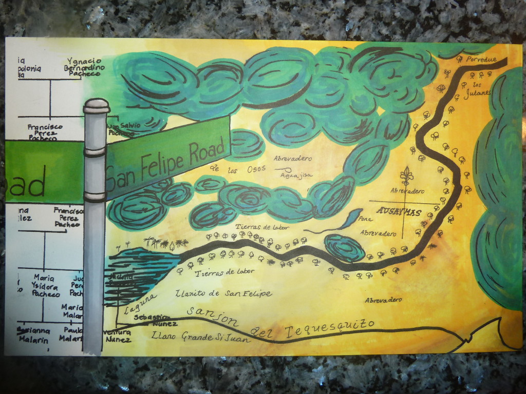
Here’s our send up to the Pachecos and Rancho Ausaymas y San Felipe.

P1300529