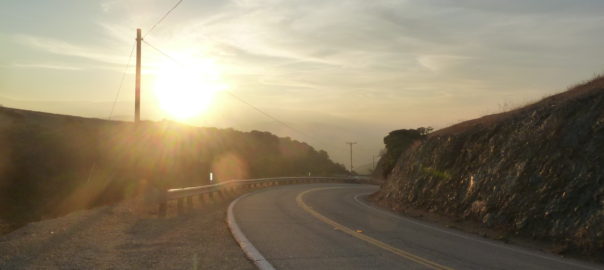
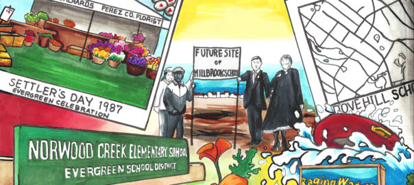
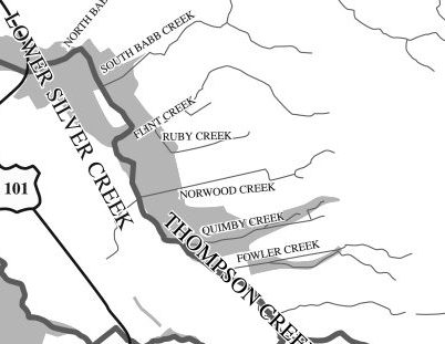
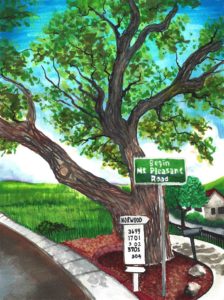
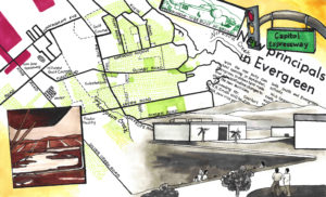
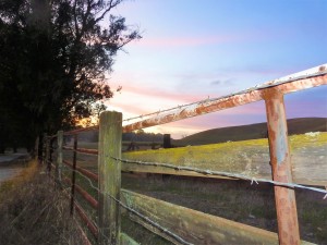
 Evergreen’s rolling, green hills and stunning vistas do not only provide its suburban gold a splendorous backdrop. These beautiful hillsides and over a hundred year old paths are endless entertainment for motorists, experienced and not, since their creation. As a teen, I never had a mischievous side but rather an intense curiosity. I would drive until I had to turn around in every direction. I could get to San Francisco without hitting a single freeway, and only later did I find out I had taken a 200 year old path by California’s settlers. I practiced on Quimby Road before driving over Highway 17 to Santa Cruz. I’d rather be close to home and stuck than far away and stuck. Today and throughout this research, I use these Evergreen roadways as pallet cleansers for the creativity and for a sense of what Evergreen is and was. I review from a place of experience.
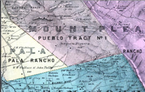
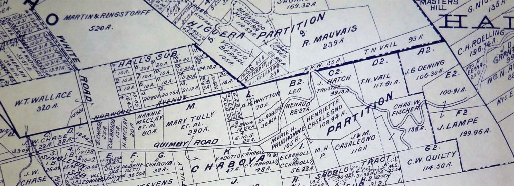
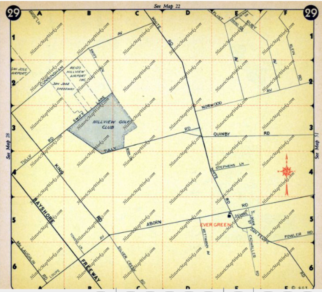
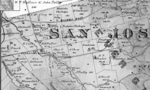 Until the 1880’s, these roadways were unpaved horse carriage and cattle driving passages. King Road, Quimby Road, White Road, San Felipe Road, Chew Lane, Evergreen Road, Fowler Road, Cadwallader Avenue, Norwood Avenue and Silver Creek Road were the major roadways. King Road would’ve taken you into Downtown San Jose. Tully Road would’ve gotten you to Monterey Highway and either Downtown, Gilroy, San Francisco, or Oakland. Norwood Avenue, Fowler Road and Quimby Road would’ve snaked into the hillside and provided passage for farmers. When these weren’t direct enough, farmers were friendly enough to let others walk through their properties or boundary roads.
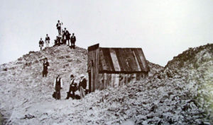 James Lick Observatory’s necessary roadway through one of the most complicated stretches of mountain terrain made paving Evergreen’s rolling hills were no longer insurmountable tasks. James Lick, philanthropist and business mogul, dedicated a Trust with the funds for the Observatory and Telescope in 1874. The trip was made by horseback in 1875 to the summit of Mt. Hamilton, though no previous trail had been blazed, and won out against several Bay Area mountain peak options. Alum Rock’s original roadway to the Observatory’s construction site was completed in 1876 for $70,000.00. That was fairly astronomical in 1870’s dollars. By 1879, the engineers and scientists worked the numbers and construction was underway. The James Lick Observatory with its Alum Rock Avenue access was completed in 1881. The early 1900’s saw plenty of paving of Evergreen roads, but it’s these roads which have not been altered in route or direction that make the best driving today.
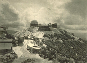 Since we’re talking about it and it’s so close to Evergreen, Alum Rock Avenue is not for the car sick. Do not blindfold your best friend and try to bring her closer to the stars. Do not be surprised if one or both of the following happen if you do this – she vomits in your car or she gets really upset with you and convinces herself that you’re not her friend and this isn’t fun. Alum Rock Avenue connects San Jose to Mount Hamilton most directly through the curvaceous mountainside. The Mt. Diablo Mountain Range, for which Evergreen is a foothill, is aptly named and deviously windy. Now also known as Highway 130, this roadway leads over the summit and into Livermore eventually, this little time to have a good time. It’s conditions for driving aren’t always great. There’s sometimes snow on the summit and black ice making it dangerous. On a good day, the constant turning roadway isn’t one of the ones I remember super fondly. You worked to get to the Observatory, where views are spectacular. Heavily wooded areas make photos along the way difficult, but if you can look back towards San Jose, it can be stunning. Sunsets are beautiful.
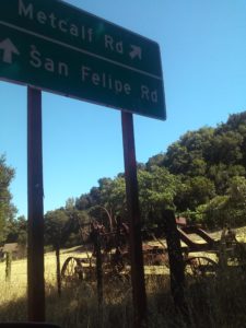
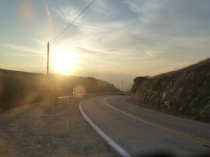 San Felipe Road has the keys to my heart and its been well documented. Sunsets over oak trees and grazing land are spectacular. Reports of haunting and phantom hand prints are reported at night on the windy drive. Do not, I report, do not do anything silly on this roadway. Just watch it on youtube and laugh. This stretch of road is a photographer’s dream complete with indigenous wildlife and awesome sunsets. The curves, speed limits and turn offs are clearly marked making it a driver’s heartthrob eventually turning into Metcalf Road. The turns and inconsistencies of elevation and scenery make it a delight for the casual driver, but think about your ambitious bikers along the way. Deer also frequently cross. Be careful, but enjoy.
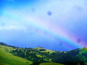
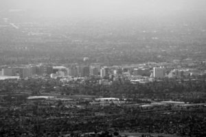 Tully Road is not a great drive. Steep inclines make it awesome fireworks views and Santa Clara Valley vistas, but it doesn’t go on long enough for any decent ride. Recent development also delays scenic gratification for photographers searching antique views. These are great vantages of Downtown San Jose. Similar reviews can be had of Fowler Road, as its route has been so heavily revised and cut short. Oh, what those hills could say if we could them from up there.
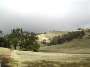 Quimby Road is windy but enjoyable. This is the perfect casual drive with four wheel drive. Turns are sharp, but the vistas are spectacular. Farmers and Open Space still exist in Evergreen and this short vacation drive will prove it to you. A few miles from civilization, you’ll have to decide if you’re blood is pumping enough for one joy ride or if you’re ready to endure more. This road meets Mt. Hamilton Road and continues into Joseph Grant Park just outside of Evergreen. This is a place where you can appreciate the natural beauty of what was here before all of us were. There are also ghost stories of Joseph Grant Park and easily persuaded Park Rangers with a fascination for the macabre.
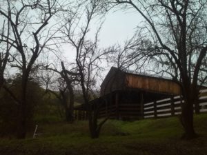
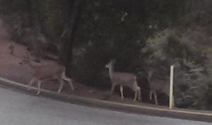 Those were long drives to sink your tires into. Little known and fun-sized rides through rustic glory can be taken in following Aborn Road to the end and Chaboya Road by the Sikh Gurdwara. These are awkward U-turns but worth the trouble. These nearby and awesome drives host fantastic, antique barns, spotted horses, and thunderous oak trees. Wildlife also make this a photographer’s haven. It’s seen deer, quail, owls, turkeys and bobcats on these drives. It’s superb.
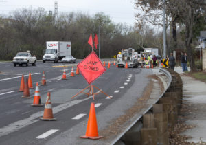 I only have one truly negative driving review from Evergreen. Yerba Buena Road has luscious turns that drivers enjoy but it dissects the Silver Creek Community. Pedestrians, students, bikers and motorists alike share these windy inclines and declines. Sadly, fatal accidents occur on Yerba Buena Road due to reckless or careless driving. It’s happened to someone near to me. Don’t take this everyday Evergreen roadway lightly. There is nowhere to pull over and photograph until you pass the college. It’s reasonable scenery but nothing to write home about. These walls across from Silver Creek Linear Park and Fire Station may be a second project once the Evergreen Mural Walk become profitable.
