Rethink the Evergreen tradition of Golf

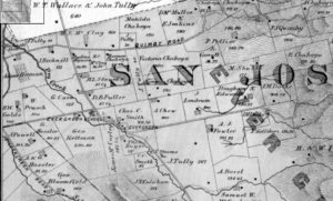
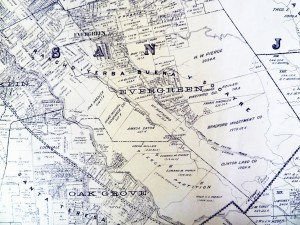
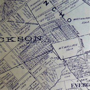
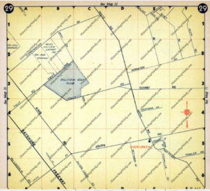
Evergreen - Page 029, Atlas: Santa Clara County 1956, CaliforniGolf, the Scottish sport, has been a part of Evergreen’s green landscape for a long time.  In fact, Reid-Hillview Airport borrows half of its namesake to the Golf Course paved to make way for its construction.  The other half was of Hillview Golf Course was cleared for Eastridge Mall’s development.  You can see it here in a 1969 road map, before Tully Road ran through to Lake Cunningham.    Hillview Golf Course would’ve enjoyed uninterrupted views of the hillside and surrounded by Evergreen’s orchards until the neighborhood grew up around it.

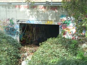
Speaking of closed golf courses, Pleasant Hills Golf Course off White Road closed in 2004 and reverted back to a dairy farm with little to no alterations.  Its golf shacks are an attractive canvas for graffiti artists.

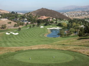
country-clubSilver Creek Valley Country Club, built in 1992, is a well scored course, privately owned and maintained.  The Golf course and Club house are separate from the Club’s homeowner’s association and amenities.  You can live here inside its gates and still not enjoy the golfing freely.  This Silver Creek Valley Community was built on top of ancient Ohlone camps and a historical tribute can be seen at the Clubhouse, to the left of the entrance.  The Villages Retirement Community is also open to its residents and members.  This private clubhouse also hosts pieces of Evergreen history in its Cribari Center.

slider2The Ranch Golf Club is open to the public and less exclusive than Silver Creek and the Villages.  Tee times are had more easily.  The Ranch Club is built atop the Hassler Ranch and its rolling vistas.  Across 101,  Los Lagos Golf Course at the far west end of the Rancho Yerba Buena and Evergreen on Capitol Expressway near Coyote Creek is also a public course.

BUT golf is boring to most residents.  It’s where the Pleasant Hills Course closed, not enough demand to keep it open.

cam12957In finding funding for the Evergreen Mural Walk, I find brand new places in Evergreen I’ve never heard of.  I usually don’t like to GPS things until I exit Evergreen.  So when I stumble on to something new, it’s nearly unheard of.

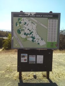
Here at the Western boundary along Coyote Creek, near Hellyer Avenue and 101, I found a new version of golf, open to the public that I’d never heard of before but now that I’ve done some digging around, it looks so cool.

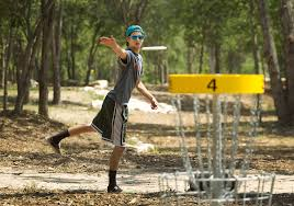
imagescam12962One of your friends has a Frisbee laying around if you don’t, or you can find equipment over at Big 5.  It’s Disc Golf.

Being along Highway 101 and exposed to coastal gusts, this would be a challenging game no matter how good you are or how excellent conditions were.  This course takes advantage of Evergreen’s hills and scenic views.

disc-golfThis game has players aim into chained buckets to make their way across the course.  Though some of the Hellyer courses chains are missing or loose, you can still aim through the hoop and have a great time.  I’m sure if we used it more, we’d see some better maintenance of this public park and its awesome course.  If you’ve never played before, you must try it.

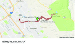
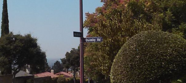
Drive down Quimby Road – Review

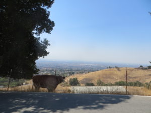
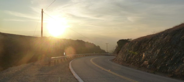
IMG_0168quimby road san jose - Google SearchThis is one of San Jose’s best drives, Quimby Road.  It’s got a lot of history.  I wouldn’t venture on a recreational drive with the phone on.  Checking it and texting will be dangerous.  Your reception will be shotty, so who cares.  You’re not going to want to be checking your phone anyways.  I like to think of this drive as a 30 minute vacation.  If you grew up camping and hiking, if you appreciate your relationship with nature, you’re going to like to bite-size journey.  You can return to your day to day totally renewed.

IMG_0147This drive is gorgeous!  Go grab your camera!  If you want to take photos, do be polite.  Pull to the side of road in a turn out or find a driveway and your flashers.  This is a narrow windy road.  Quimby Road also isn’t entirely lifeless, meaning you’ll find other cars passing and people live out here.  Be careful if you’re getting out of the car, check your mirrors before getting out  and use your flashers every time.

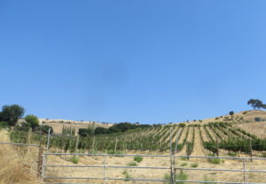
CAM12894IMG_0187Your trip out of town doesn’t really begin until you reach Murillo Avenue.  From Eastridge Mall to Murillo Avenue, this area of Quimby Road is completely developed. That’s changed since my childhood.  There’s  high school where there were once cow pastures.  Just west of Murillo Avenue are newer homes and the Sikh Gurdwara.  Murillo Avenue would mark the boundary of the Pellier Ranch and upon your first curves, you’ll find vineyards and a monastery.  You’re on the right path.  Keep going.

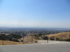
IMG_0145The hills are steep and windy.  Because they are, your views will be spectacular right away.  There’s no where to really pull over and park on the way up, so you’re going to have to wait for these shots on your way back when you can find room on a turn.  Or bring a friend and keep your eye on the road.  Really, that’s safest.  You’ll have to muscle up a few switchbacks back to back.  Don’t go too slow, and don’t get nervous.  I do think in 4 cylinders with ease.  Don’t be overwhelmed by the steep curves.  And when you get comfy with them, you’ll enjoy them.

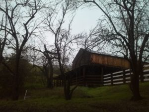
IMG_0169After the switchbacks are shaded valleys and wavy roadways up here.  This is the Northeastern corner of Rancho Yerba Buena.  Picturesque barns and livestock populate Quimby Road.  This is nearly untouched wilderness and the drive is pretty relaxing from here out.  You can’t entirely take your eyes off the road, but turn offs are plentiful.

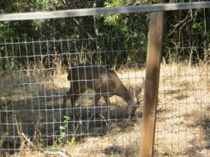
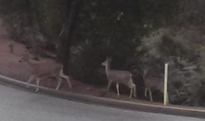
IMG_0184Watch out for deer.  Actually, there’s plenty of indigenous wildlife on Quimby – vultures, turkeys, squirrels and lovely deer.  In the past and in the evening, you can see owl, bobcat and deer galore.  I’ve found deer here, Chaboya Road and at the Wehner Mansion.  This was taken at 2pm, so they’re pretty brazen up here.  Photograph deer with caution.  This guy was calm, but I felt uncomfortable at the Wehner Mansion.  It just depends, but always remember – that’s not Bambi.  Photograph at a distance.  If you’re a serious photographer, you should take all your lenses anyway.

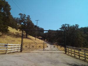
CAM12900CAM12899Further down Quimby Road, you will pass some stunning, old school ranches to the left and right where you reach the Summit.  These ranch entrances alone are beautiful.  They’re not open to the public, so don’t go wandering up a driveway.  This far removed from civilization, hunting is a reality and serves a huge purpose in wildlife control and conservation.  It’s simply not safe to have unplanned visits.  Stick to the road and take all the pictures of hundreds of year old Evergreen oaks and historic barns you want.  This portion of Quimby is fun to drive, but not without well marked turns and elevation changes.  You gotta stay alert.

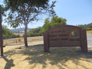
IMG_0166IMG_0163Beyond the Summit and just outside of the Rancho Yerba Buena, you drop down into a Valley.  You’re officially out of Evergreen.  A beautiful lake in Halls Valleys reveals itself and Quimby Road soon ends at Mt. Hamilton Road, Highway 130.  By turning right, you’ll reach Joseph Grant Park nearly immediately.  This park entrance is a great spot to pull over for pictures of the lake.

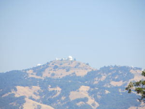
IMG_0159James Lick Observatory is another 30-45 minutes away, depending on how you drive on windy roads.  Like we discussed in our Best Drive List, this is where this drive becomes tremendously difficult.  This is not for new drivers.  This is not for texting.  This is not for the timid.  This is not for the car sick or just eaten.  This is not for old tires or weak brakes.  If you have any questions or doubts, stop off at Joseph Grant Park and collect your thoughts.  This isn’t a fun drive beyond this point, but it’s worth it if you’re curious about the Observatory.  During this drive, it’s fun watching it come into focus as you get closer.


Quimby Road – History


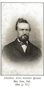
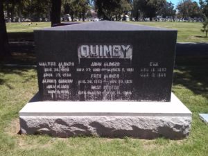
thumb200caQuimby Road, from its 1860’s creation, has been an artery into the town of Evergreen, intersecting with historic White Road and King Road for over 150 years now.  We’ve discussed previously in Evergreen Mural Walk’s blog Evergreen’s Own Mayor Quimby.  John Alonzo Quimby, San Jose Mayor, is indeed the roadway’s namesake, whose second home outside of downtown was here in Evergreen in the 1860’s.  Quimby Road on our Best Drives List, however, is host to many powerful stories and breathtaking vistas.
P1310216 (2)

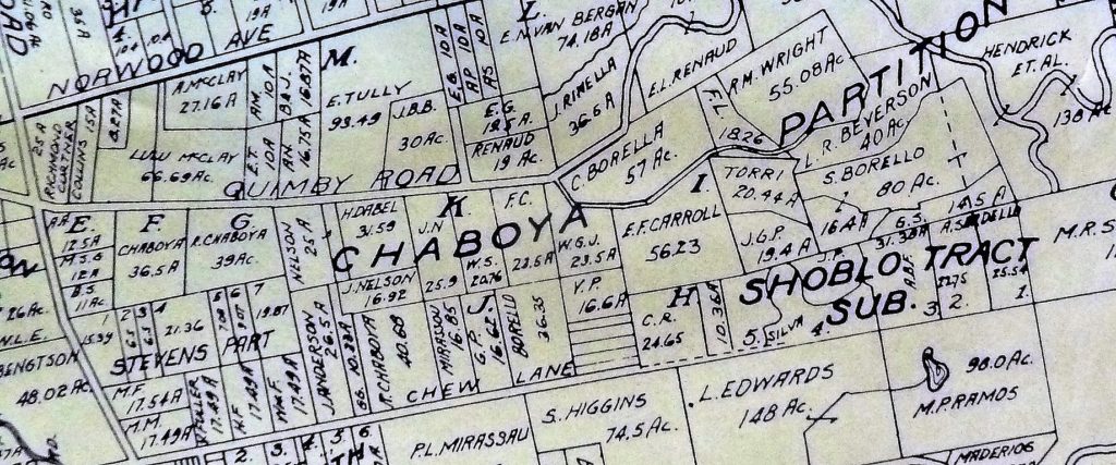
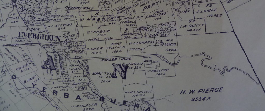
We’re looking at Quimby Road from the familiar now 1899 map, which I found at Evergreen Valley College’s library in the Heritage Room, curated by Colleen Cortese.  Let’s talk about what these parcels are now.
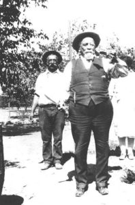
6254416259_78f082522aYou can see White Road further left.  Left is west and a pinch south.  White Road runs North and South and Norwood Avenue, running off the map here, ought to point directly East.  The right of the adjacent Chaboya properties, belonging Ramon Chaboya, is the Evergreen School District Office and Quimby Oak Middle School.   This is Ramon, or Raymond, Chaboya to the left here.  The western border of the western, or left, Renaud property is Ruby Avenue which later builds through to the Mirassau or Mirassou property on Chew Lane, which became Aborn Road.  This is a particularly interesting tid bit because of the Pellier lineage

.CAM11091The roadway was named for the one time Mayor, long time civil servant and Evergreen rancher.  Strangely enough though, the Quimby Family property, in the family as shown above, isn’t located on Quimby Road in 1899.  It appears to have been downsized and passed down to the Quimby’s daughter, then Mrs. Wright, lived on Chaboya Road.  Can I be honest with you?  This M. Wright parcel feels more like the corner of the Pellier Ranch.  The straightened portion becomes Murillo Avenue and the offshoot of Chaboya Road is there.  This is where the Sikh Gurdawa is today.  It would’ve outline the neighboring Pellier Ranch in 1876 and become the driveway by 1899.
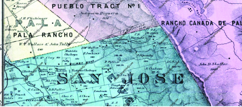
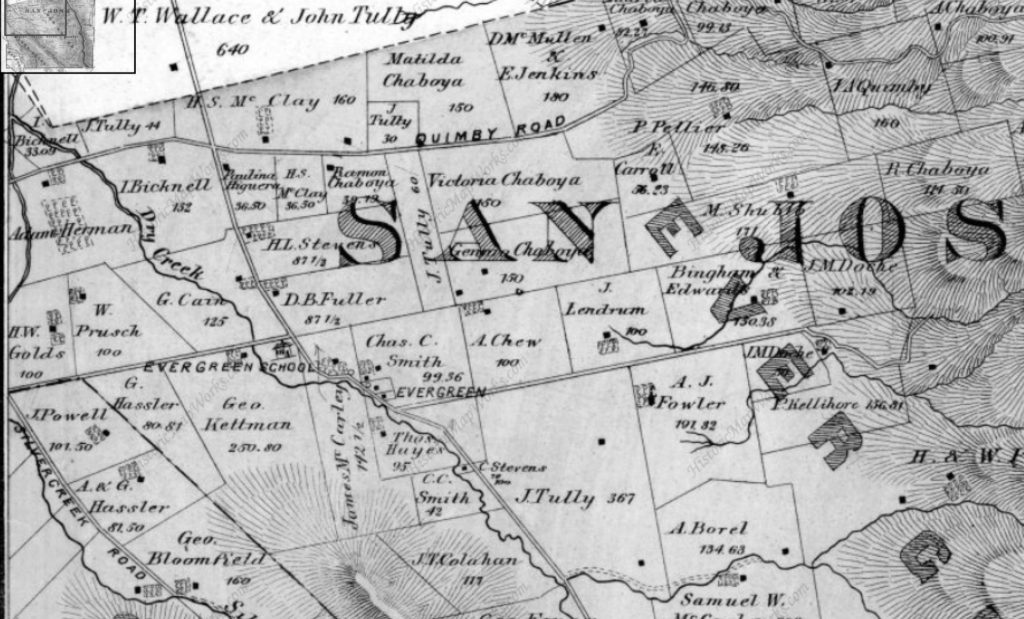
We’re going to look back at Quimby Road again, but this time in 1876.  I’m going to tell you that this zoom out is very deceiving.  The properties will appear to be the same size, but that is not the case.  They’re much larger and fewer.  They’ll just be bigger.  Check the acre size on the Ramon Chaboya and the McClay/Chaboya parcel to be sure.  Ramon Chaboya’s are both 39 acres.  The McClay/Chaboya parcel on Quimby Road is 36+ acres.
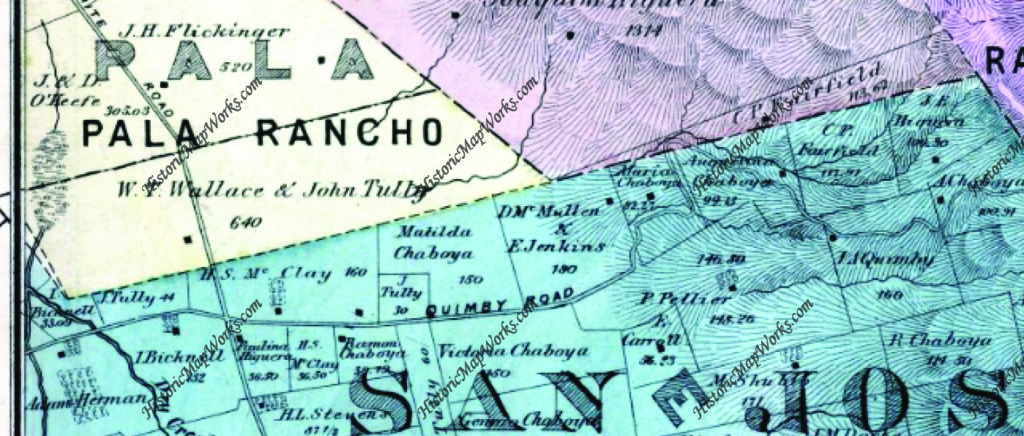
Map 006, San Jose, Evergreen, Silver Creek, Mount Pleasant, Pal

As stated above, Quimby Road connected Evergreen to downtown at its Northern end as Evergreen and Chew Lane did on the South side.  The portion of Tully Road where Quimby Road first appears was also known as Quimby Road.  This section was soon after renamed for the prominent businessman and landowner, John Tully, Lake Cunningham were developed.  You can see Cunningham on the Wallace & Tully parcel in yellow.  Tully Road would divide this property in half.

Along the dotted line, Norwood Avenue would’ve been built and Tully Road would border the Wallace Tully property to the North.  This is considered the boundary of Evergreen itself.
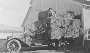
 6254426015_f091ee3233_bDuring the 1870’s, the Chaboya’s would spread out along Quimby Road with large ranches and a driveway that would later become Murillo and Chaboya.  Into the 1890’s the family would downsize and swap parcels with neighbors like the McClays, who would also downsize over the years as it passed down to later generations.  The Kettmann’s were upsizing, purchasing Mt. Hamilton land for goat herding, and surely used Quimby Road and Mt. Hamilton to get there.  The widowed Mrs. Tully was buying up property.  Also seemingly moving out of the Evergreen area is the Pellier Family, which couldn’t be further from the truth.
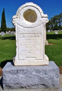
129607434_1399786458 12314282_198416020500512_5584157587879954674_o As we discussed before in RIP Louis Pellier, detailing a gravestone mix up, the Pierre Pellier family lost their budding male heir at the age of 16.  This was a huge blow for Mr. & Mrs. Pellier and their daughters , soon after the death of Pierre’s brother  .  There wasn’t another son.  Uncle Louis and his wife would have no children.  Uncle Jean would have children.  He is the only one who would carry on the family name.  But the Pellier daughters would step up, marry well and pass on their family lineage and French heritage.
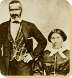
Interior-FirstGeneration-PierrePellierMrs. Pellier’s distant family members, the Renaud’s, would move in near the French immigrants and begin planting vineyards on Quimby Road.  One Pellier daughter would marry into the Renaud Family, third cousins or further removed.  Elise Pellier would marry Alfred Leon Renaud and have eight children in 17 years on a Quimby Road Estate.  In fact, Alfred Renaud would’ve passed away before Rose knew she was pregnant with their last child in 1901.  I think a Renaud property is across from Evergreen Valley High School, but the larger E. L. Renaud property may stand for Elise Leon Renaud.  In fact, there are still grapes grown here.  The homestead may have been across  Evergreen Valley High School while the grapevines grew up the street.
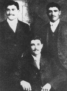
148) Herman, Peter, & John Mirassou, circa 1905Again, a Pierre and Henrietta Pellier daughter would marry a French transplant moving to the Santa Clara County to engage in agriculture. Pierre Mirassou would marry Henrietta Pellier, the eldest daughter, and a wine dynasty would be born from their union.

Pellier Daughter Josephine would marry Mr. Michael Casalegno, an Italian immigrant, and have six children on the Pellier Ranch.  I got to see their house, which has been moved and preserved within Evergreen.  This would’ve been the Pellier’s home at one point.  The largest ranch in Evergreen would again break up and become many of the largest ranches in Evergreen.  The awesome ending to this Evergreen story is that it doesn’t end and they continue to raise new generations in Evergreen today.  Rad.

I also need to confirm another historic Quimby Road lead that one of the Rinella daughters, a large Sicilian, Italian family, would marry into the LaMantia Family.  Mr. LaMantia would maintain orchards of his own and the vineyards for the Evergreen Cribari Winery.

Back to Quimby Road in the late 1800’s, though.  It would’ve been paved fairly early as an alternative route to James Lick Observatory.  Alum Rock Road’s construction would have to be innovative and swift so the Observatory could begin its construction.  Evergreen’s awesome drives and almost unchanged roadways have a lot to do with East San Jose and the Observatory’s development in Santa Clara County.  Suddenly Evergreen’s thousands of residents were receiving a little more love from its Department of Transportation.

Let’s see if Quimby Road has changed much.  Here it is today.
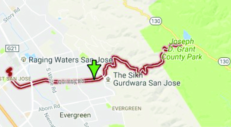
And the side by side.  Can’t find it earlier than 1876.
Map 006, San Jose, Evergreen, Silver Creek, Mount Pleasant, Pal

IMG_0163The Evergreen artery, Quimby Road, has had some updates.  I think there’s been two path changes in Quimby’s 150 year history.  The first is the part of Quimby Road that now runs through to Mt. Hamilton Road.  In 1876, it merely ran through Evergreen or up to “the Summit”.  That was the boundary for Rancho Yerba Buena and is the color change at the end of each Quimby Road.  This area simply didn’t exist before.  Mt. Hamilton Road’s path too has been softened over time.
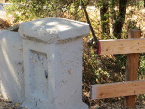
IMG_0182The second place updated is where I’m thinking is where I found evidence of it in a bridge. Quimby Road crosses creeks many times and therefore would’ve been washed out if unpaved or poorly maintained.  This update would’ve taken place adding a second and steeper hump between the J. A. Quimby and A. Chaboya in the 1876 map.  This was cleary updated in 1935.  I’ll have to find out when Quimby reached Highway 130 and see if they happened at the same time.
A Tribute to Wehner Mansion

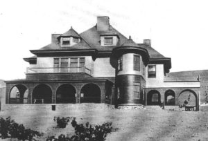
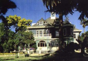
5985327859_3f314741f2_bHeritage Room azules.pdfThis guy once painted Civil War scenes on a panoramic scale in Chicago. Wonderful William Wehner, German born, American famed artist, moved to Evergreen in the 1880’s and built one of the most beautiful structures in Santa Clara County.  The Blue Hills Estate, Wehner Mansion or Cribari Mansion, whichever you prefer, has been a longstanding gem of Queen Anne architecture hiding in Evergreen.

IMG_0214IMG_0206Behind locked gates, this historically designated but almost uninhabitable building has seen better days.  There’s a questionable title and legal loopholes being used to keep the home out of the bank’s hands exclusively, rendering it unable to be sold, preserved or renovated.  Wait a second, there is life here.  I felt it all around me when I took these photographs.  It’s just not human life.  The Mansion is quickly being reclaimed by nature, and a territorial young buck.  Read the above post for that story.

Wehner, Albert Haentz, Cribari and Mirassou families all utilized this stunning home and its expansive vineyards.  Until the 1970’s, this mansion was storage and winery for some of the world’s most famous vines.

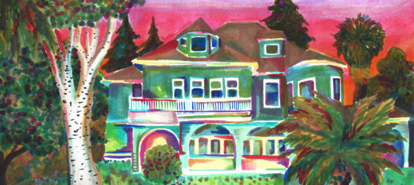
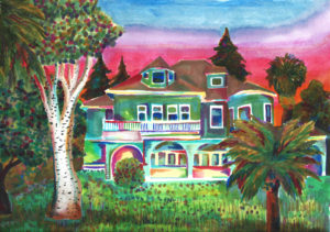
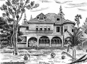
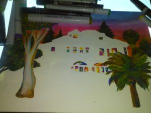
I know it’ll be some time before you make older friends who’ll let you snoop around their homes looking for nuggets of Evergreen gold.  Here’s a reimagining of the Wehner Mansion.

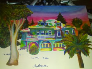
wehner mansion Wehner%20mansion

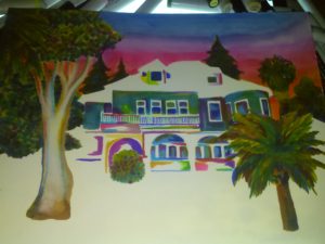
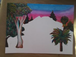
Here’s the progression of the drawing for your art buffs

The State of Public Arts

9dbad7c9-3b83-4309-8011-1ac1e52b1788P1310589Needless to say, I’m letting my nerd flag fly with every blog post for the Evergreen Mural Walk.  If you think I enjoy Evergreen, consider how much I love Public Arts.  As a San Jose Native and based Artist, how could anything be more personal or provocative to me as San Jose’s Public Arts’ Scene.  I’m going to narrow my review to the Visual Arts’ for the most part because it’s my expertise and experience.  I still don’t get out often enough to be a critic of our performing arts or festivals, which San Jose has a ton of!  Well done, us.  There is constantly something happening in San Jose and a holistic approach to the public spaces being highly considered makes those more engaging.  City Hall is somewhere I find inspiration and a lot of support.

january_lectureSince coming up with this crazy Evergreen idea a year ago, I’ve been to every City of San Jose Arts Commission and Public Art meeting open to the public.  San Jose’s art portfolio is vast with a wide variety of investments and installations.  Overall beautiful and well considered, I cannot help but to notice lots of funding going to out of state artists for their unique concepts.  There’s been two pieces that people hate in Downtown.  The Arts Commission funds programs like the Ballet, Symphony and other performing Arts.  Illuminating Downtown appears to be a success with more projects on the way, a series of light Public Arts Installations to Downtown’s Underpasses.  Brand new pieces have been installed on Lincoln Avenue in Willow Glen.

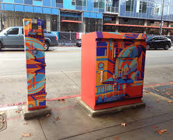
artboxThe Art Box program finds itself empowering charming pieces in already charming, walking Communities.  To engage this program, you must have an artistically or culturally valid concept and private sponsorship.  Its this programs’ intent to create opportunities for professional artists, though the stipend is low.  I think this is why there are some done to a lesser quality than others.  It takes a larger commitment of time from the artist than the program pays.  This program adds to San Jose’s rich culture by creating exposure for artists.  The location is chosen by the Arts Commissioner in charge and the private donor, so the pay off is in the location.  Because of these elements, the Art Boxes have not been employed in Evergreen, or other graffiti ravaged Communities, though this Public Arts approach could help the safety and walkability of Evergreen.  You’ll find Art Boxes in Willow Glen, Downtown, and the Alameda.

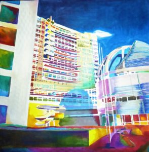
newsofaThere is such a lack of color in San Jose, it’s known as Tan Jose to those in the Arts Community.  People lament the boredom of San Jose’s Airport, knowing the Cultural hotspot that waits for them outside.  San Jose State University trains brilliant, competent artists, but we outsource the Artistic Identity of San Jose to others.  Those like Erin Salazar, with the Exhibition District, finds private funding and public walls to empower San Jose’s Arts Community to have a hand in its Individuality.  Sadly, the Exhibition District focuses Downtown.  Not in Evergreen.  Cherri Lakey, too, with Two Fish Designs, brings Artists Opportunities forth in her successful galleries and SOFA events.  SOFA, however, still isn’t Evergreen.    Love seeing strong women creating business opportunities and cohesion for the Arts in San Jose.  That connectivity to opportunities and empowering artists is crucial to San Jose’s Artistic Identity.

What has Public Art done for Evergreen lately?  Does Evergreen have Public Art?

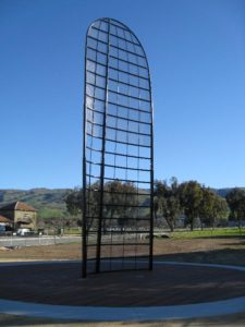
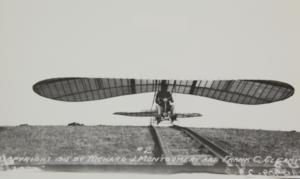
91d4d203-6e45-4919-9cdf-7295ef5f6498It’s gotta be asked because it’s not widely known or appreciated.  It’s often teased for its curious shape.  This first of these is a contribute to John J. Montgomery, the pioneer aviator who lost his life flying in our Evergreen hills.  This is a recreation of a wing from his Evergreen glider.  This stands at the park on the corner of Yerba Buena Road and San Felipe Road, within a mile of where the glider crashed on the Ramonda Ranch.

montgomery 1The importance of this shape is it is the modern shape of wing.  John Montgomery flew before the Wrights Brothers and had the guidance systems in mind in advance.  The East Coast bias goes back before National Sports leagues.  Publication and their Printers were in high volume along the East Coast while the West Coast enjoyed the last standing Old West and settling.  Circulation to local outlets would’ve been easy, but getting publications of Montgomery’s early flights back East were a feet.  The Wrights Brothers have the public’s opinion on Flight’s First, however it was Montgomery and he simply did it better than others until his unfortunate landing.

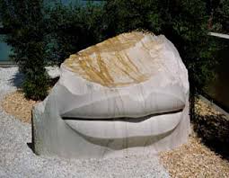
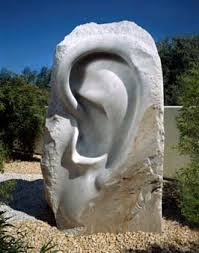
mouthearHave you heard of these delights to the left and right?  Evergreen Library has beautiful pieces of Public Art, but I had to hear about it in a Public Art Meeting.  That would lead me to believe perhaps you’ve not seen Larry Kirkland’s “Discoveries” either.  The Washington DC based artist here uses the senses and scale to engage his audience in an association with nature.  Mr. Kirkland’s work can be seen in airports around the world, and here at the remodeled Evergreen Library off Aborn Road.  Though little known, it think this is a wonderful addition to San Jose’s and Evergreen’s Artistic Identity.  I think I’ll take a selfie with the giant ear.  I love the honest qualities to the rock with the smooth contours of the skin.  It’s a powerful textural contrast that leads us to opinions of our relationship with nature.

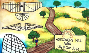
1905Enough La-Ti-Da.  We’re done.  That’s it in San Jose’s District 8.  The largest Rancho in Santa Clara County has 2 pieces of Public Art.  We’ve recognized and tried to bring relevance to the Montgomery piece in our proposed artwork.  There’s splendorous fountains and decorations in new home and retail areas, but we have an artwork portfolio of two and no non-profits receiving operational grants in Evergreen, though I’m sure we have some budding ballerinas and musicians from Evergreen in our Arts Organizations.  Andrew Bales of the SV Symphony discusses the 90% decrease in philanthropy over the last decade, which the Arts has endured.  There are funds set away from every new development that goes towards things like Public Art.  This too gets trimmed away by other needed services like homeless housing.  What’s odd to me is that Evergreen is continuously development the rolling hillside but the 1% for the Arts doesn’t come back here in proportion.  If Corporate Giving and governing agencies cannot fund the Arts, it’s going to go away unless someone gets creative.

P1310632Evergreen sees epidemic graffiti in public spaces and on historic grounds.  Graffiti is a broken window to the factory that is the Evergreen Community.  I can’t help but to think Public Art and bringing charm and romanticism to Evergreen could improve safety and tensions.

Tensions will naturally occur where you have a socio-economic contrast like ours and residents don’t feel like they have any options to improve their own situations.  I maintain this Community is colorful, not unsafe.  Those committing this vandalism are our target volunteer from our high school crowd.  Their ownership and individuality brought to the project bring it success and authenticity.  This was a wildly walkable Community when I was a little girl on my red bike.  Before that, farmers freely roamed through the shortest path through their neighbors’ orchards on horseback.  This project seeks to find that walkability and boost in tourism in Evergreen’s third piece to the Public Art Portfolio.

Evergreen’s Best Drives – Road Reviews

P1300723Evergreen’s rolling, green hills and stunning vistas do not only provide its suburban gold a splendorous backdrop.  These beautiful hillsides and over a hundred year old paths are endless entertainment for motorists, experienced and not, since their creation.  As a teen, I never had a mischievous side but rather an intense curiosity.  I would drive until I had to turn around in every direction.  I could get to San Francisco without hitting a single freeway, and only later did I find out I had taken a 200 year old path by California’s settlers.  I practiced on Quimby Road before driving over Highway 17 to Santa Cruz.  I’d rather be close to home and stuck than far away and stuck.  Today and throughout this research, I use these Evergreen roadways as pallet cleansers for the creativity and for a sense of what Evergreen is and was.  I review from a place of experience.

1876 MapUntil the 1880’s, these roadways were unpaved horse carriage and cattle driving passages.  King Road, Quimby Road, White Road, San Felipe Road, Chew Lane, Evergreen Road, Fowler Road, Cadwallader Avenue, Norwood Avenue and Silver Creek Road were the major roadways.  King Road would’ve taken you into Downtown San Jose.  Tully Road would’ve gotten you to Monterey Highway and either Downtown, Gilroy, San Francisco, or Oakland.  Norwood Avenue, Fowler Road and Quimby Road would’ve snaked into the hillside and provided passage for farmers.  When these weren’t direct enough, farmers were friendly enough to let others walk through their properties or boundary roads.

early_summitJames Lick Observatory’s necessary roadway through one of the most complicated stretches of mountain terrain made paving Evergreen’s rolling hills were no longer insurmountable tasks.  James Lick, philanthropist and business mogul, dedicated a Trust with the funds for the Observatory and Telescope in 1874.  The trip was made by horseback in 1875 to the summit of Mt. Hamilton, though no previous trail had been blazed, and won out against several Bay Area mountain peak options.  Alum Rock’s original roadway to the Observatory’s construction site was completed in 1876 for $70,000.00.  That was fairly astronomical in 1870’s dollars.  By 1879, the engineers and scientists worked the numbers and construction was underway.  The James Lick Observatory with its Alum Rock Avenue access was completed in 1881.  The early 1900’s saw plenty of paving of Evergreen roads, but it’s these roads which have not been altered in route or direction that make the best driving today.

03OVER-master675Since we’re talking about it and it’s so close to Evergreen, Alum Rock Avenue is not for the car sick.  Do not blindfold your best friend and try to bring her closer to the stars.  Do not be surprised if one or both of the following happen if you do this – she vomits in your car or she gets really upset with you and convinces herself that you’re not her friend and this isn’t fun.  Alum Rock Avenue connects San Jose to Mount Hamilton most directly through the curvaceous mountainside.  The Mt. Diablo Mountain Range, for which Evergreen is a foothill, is aptly named and deviously windy.  Now also known as Highway 130, this roadway leads over the summit and into Livermore eventually, this little time to have a good time.  It’s conditions for driving aren’t always great.  There’s sometimes snow on the summit and black ice making it  dangerous.  On a good day, the constant turning roadway isn’t one of the ones I remember super fondly.  You worked to get to the Observatory, where views are spectacular.  Heavily wooded areas make photos along the way difficult, but if you can look back towards San Jose, it can be stunning.  Sunsets are beautiful.

CAM10919P1300635San Felipe Road has the keys to my heart and its been well documented.  Sunsets over oak trees and grazing land are spectacular.  Reports of haunting and phantom hand prints are reported at night on the windy drive.  Do not, I report, do not do anything silly on this roadway.  Just watch it on youtube and laugh.  This stretch of road is a photographer’s dream complete with indigenous wildlife and awesome sunsets.  The curves, speed limits and turn offs are clearly marked making it a driver’s heartthrob eventually turning into Metcalf Road.  The turns and inconsistencies of elevation and scenery make it a delight for the casual driver, but think about your ambitious bikers along the way.  Deer also frequently cross.  Be careful, but enjoy.

P1320017IMG_4183Tully Road is not a great drive.  Steep inclines make it awesome fireworks views and Santa Clara Valley vistas, but it doesn’t go on long enough for any decent ride.  Recent development also delays scenic gratification for photographers searching antique views.  These are great vantages of Downtown San Jose.  Similar reviews can be had of Fowler Road, as its route has been so heavily revised and cut short.  Oh, what those hills could say if we could them from up there.

night tourDeer Valley - Joseph D. Grant County ParkQuimby Road is windy but enjoyable.  This is the perfect casual drive with four wheel drive.  Turns are sharp, but the vistas are spectacular.  Farmers and Open Space still exist in Evergreen and this short vacation drive will prove it to you.  A few miles from civilization, you’ll have to decide if you’re blood is pumping enough for one joy ride or if you’re ready to endure more.  This road meets Mt. Hamilton Road and continues into Joseph Grant Park just outside of Evergreen.  This is a place where you can appreciate the natural beauty of what was here before all of us were.  There are also ghost stories of Joseph Grant Park and easily persuaded Park Rangers with a fascination for the macabre.

CAM09485CAM09492Those were long drives to sink your tires into.  Little known and fun-sized rides through rustic glory can be taken in following Aborn Road to the end and Chaboya Road by the Sikh Gurdwara.   These are awkward U-turns but worth the trouble.  These nearby and awesome drives host fantastic, antique barns, spotted horses, and thunderous oak trees.  Wildlife also make this a photographer’s haven.  It’s seen deer, quail, owls, turkeys and bobcats on these drives.  It’s superb.

The corner of Yerba Buena Road and Edenwood Drive where 24-year-old Kiran Pabla was killed in an accident is blocked off from traffic in San Jose, Calif., on Tuesday, Jan. 27, 2015. Pabla, a bystander, was killed in an accident involving two speeding cars thought to be racing. (LiPo Ching/Bay Area News Group)I only have one truly negative driving review from Evergreen.  Yerba Buena Road has luscious turns that drivers enjoy but it dissects the Silver Creek Community.  Pedestrians,  students, bikers and motorists alike share these windy inclines and declines.  Sadly, fatal accidents occur on Yerba Buena Road due to reckless or careless driving.  It’s happened to someone near to me.  Don’t take this everyday Evergreen roadway lightly.  There is nowhere to pull over and photograph until you pass the college.  It’s reasonable scenery but nothing to write home about.  These walls across from Silver Creek Linear Park and Fire Station may be a second project once the Evergreen Mural Walk become profitable.


HARD WON – Cowboy Wisdom

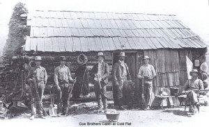
coe_brothers_smallPeter Coe Verbica carries many torches of tradition that are uniquely Evergreen in nature.  Mr. Peter Verbica is a member of the Revolutionary War fighting, Valley of Heart’s Delight rumor creating, dried apricot perfecting, cattle ranching, beautiful poetry writing, longtime Evergreen family, the Coes.  Today, Mr. Peter Coe Verbica is a successful businessman and a Silicon Valley author and poet, deriving inspiration from his long held family traditions.

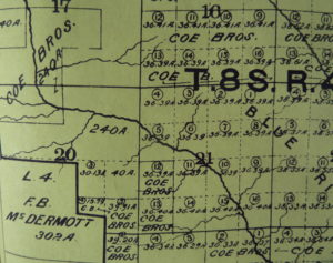
P1310184Don’t worry if you feel a little confused about where the Coes actually come from.  You did see the Coe name in Willow Glen.  Coe Avenue runs right past Henry W. Coe’s home in “the Willows”, a town which became Willow Glen some time later.  Henry Coe, Sr., would move out to Evergreen in the 1860’s as the Yerba Buena land disputes starting settling.  After a poor year of farming in Willow Glen, Henry W. Coe would move the homestead to Evergreen, buying large tracks in Halls Valley and San Felipe Valley.  His sons would extend the grazing land further.  This cattle ranching track stretched all the way out to Morgan Hill, to Henry W. Coe State Park.

Winnifred Coe Verbica, who died on March 31, 2013, in the early 1950sP1300723This large Evergreen ranching property raised not just cattle, but generations of ranchers, or more specifically Cowboys.  It’s been rumored that Peter’s mother, Winnifred Coe Verbica, was bitten by a rattle snake as a baby on the Evergreen Ranch.  San Felipe Ranch, the main homestead, would be located at the Southern tip of Rancho Yerba Buena.  Various other homes and outposts are dotted throughout the ranching property because you’d be miles and miles away from home on a cattle run with men, dogs and horses to feed.  Mr. Verbica would be born on San Felipe Ranch, like his mother before him.  Cowboy Wisdom is something Mr. Verbica is well-versed in.

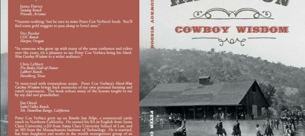
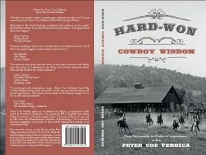
1888616_10152084007824902_1583107476_nMr. Verbica obtained his BA in English at Santa Clara University, and received his JD from Santa Clara University’s School of Law.  Though clearly well versed in city life, Peter Coe Verbica spent some time disseminating pearls in his book HARD-WON: Cowboy Wisdom.  This latest book from Peter Coe Verbica is short bursts of common sense uncommon to city-slickers.  Because of the brevity of the clips, it’s a perfect read for a busy person on the go to pick up in spare minutes.  Some of his passages made me laugh out loud in a crowded, busy place.  His snippets are in no particular order.  Mr. Verbica gives tips on cattle running, hunting, and ranch owning.  A simple kind of intelligence from self-sufficient, hardworking farmers can be gleamed throughout HARD-WON.  I highly recommend this book to anyone who has ever daydreamt about being a cowboy and lassoing their little brothers.

image1Here are some of my favorite snippets from HARD-WON: Cowboy Wisdom:

“15.  Don’t wear too big of a buckle unless you’ve earned it.”

“60.  Rides your fences.”

“78.   If someone doesn’t believe in his heart that the West is the Best, don’t trust him.”

“137.  When in rattle snake country, wear high boots.”

“193.  Don’t make fun of a ‘C’ student.  You may have to work for them someday.”

“213.  Unfenced mine shafts are the bane deer and curious children.”

“252.  Finish what you can start, but think first about what you’re starting.”

“292.  Give a horse’s hind end an appropriate distance so that you don’t get kicked.”

“300.  Eat the game you kill.”

“305.  Don’t be too proud to copy what you neighbor does, but try to make it better. – Courtesy of Barry Swenson

“370.  Don’t pen horses with barbed wire.”

“449.  There are lots of ways to skin a cat, but the easiest way is to let someone else do it.”

“476.  Think twice before trying to save your dog from a grizzly.”


Today’s Wehner Mansion

5985327859_3f314741f2_bP1310186 (2)This introduction to the subject matter at hand isn’t purposefully an alliteration.  It just happens to be one anyway.

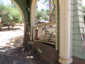
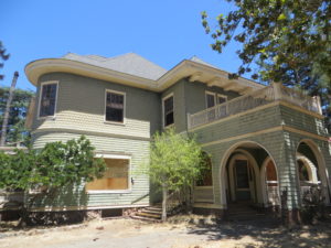
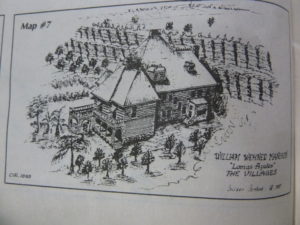
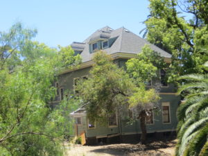
Heritage Room azules.pdfWonderful William Wenher was renowned for his winning white wines.  William Wehner was a Chicago-based panoramic painter and winemaker, born in Germany.  The Historic Manor was built by famous skyscaper architect, David Burnham, who would design and build only the one home in his career, friend of Wehner’s from Chicago.  His 1884 built Evergreen Estate still stands behind private gates and ropes, but that’s about all the care it’s had in a while.  These photos are courtesy of Colleen Cortese and the EVC Heritage Room.

P1320410lomasazulesUntil recently, I had only seen Colleen’s pictures and sketches of Evergreen’s Queen Anne Victorian.  Wehner, Albert Haentz, Cribaris and Mirassous have all made wine from the winery also on-site, Lomas Azules Winery.  Ebe Frasse, from the Cribari Family, has the fondest memories of growing up in the Blue Mansion.  This perspective had always seemed odd to me until I dropped in on the historic Evergreen jewel.  It is a literal drop into the seat of this Evergreen relic to its arched carriage entrance.


IMG_0206

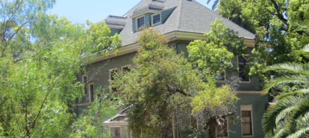
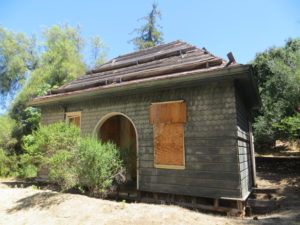
The Wehner Mansion today is boarded up and breaking down.  It clearly hasn’t had a new paint job since the 70’s.  It was deemed unfit for residence in 2014 by City Inspectors.  I like the colors, but an owner should be maintaining this important piece of San Jose History.  It has historic designation.

When I dropped by the property to lay my own eyes on it, I got lost.  Nothing new.  Actually, getting lost has helped me throughout this project.  Upon coming up to a Community stable and garden, the caretakers inquired if I was a real estate agent looking for the Wehner Mansion.  I wish.  But they wished too that something could be done about the beautiful piece of architecture that lay dormant and decaying in their backyard.

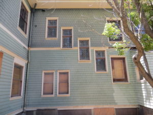
IMG_0216I found these windows to be stunning.  The glass remaining is a sight to behold.  If a replacement for this fifth window could be found, it would be incredible from inside.  I’m hoping this is a staircase on the other side.  The rounded feature is generally photographed and admired, but not much is said about its antique glass.  Mrs. Louise Lamantia remembers it well.  In fact, somewhere, some of this glass was donated to a historical society.

IMG_0220This second building here isn’t the attached Winery that’s been so well used by Evergreen vintners.  Wehner’s no dumby.  You’d never invite that nonsense into your backyard nearest your children.  I’d also expect more storage for barrels.

This is a tiny, one room building obscured by trees from Colleen’s sketch and initial sighting of the Wehner Mansion.  This is an old fashion frig or pantry.  This is a kitchen house designed to keep food for as long as it would naturally keep.  This was necessary in the 1800’s.  The Summer ones are built differently than Winter ones. It’s a science of keeping things fresh.  You can see why farming would be big business back then especially.

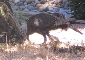
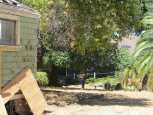
IMG_0219IMG_0217It is super quiet in these hills and this roped of manor is as well.  Wehner Mansion, also known as the Blue Hill Estate, isn’t without its tenants or residence today, though.  They just aren’t people.  The historic estate hosts a very territorial buck and a family of turkeys.  It’s so silent, you can hear them gobble from all the way over here.  I found that indigenous wildlife and a near by run-off creek trickle through Wehner Mansion while its title is questionable at best.  Its faith rests with the Title.  I’m making inquiries.

IMG_0232If I can fire enough people up and raise some awareness for this San Jose Gem, I’d like to do so and make something happen here.  I see a private venue for weddings or a Community Garden for a non-profit.  I see a Community Center for the Villages or an Evergreen History Museum.  Access is difficult, so the tenant would need to be perfect for the situation.  Let’s start talking about how to fill Wehner Mansion’s halls with laughter again.  It’s a piece of our History still standing.  There’s only a couple left.


Who was Cunningham?

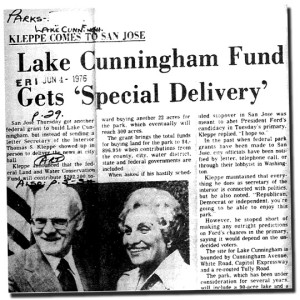
P1310197We have a giant Lake in Evergreen, showing up in every map throughout time.  Lake Cunningham wasn’t always a lake but rather a large marshland.  This was where Silver Creek, Ruby Creek, Flint Creek and Thompson Creek emptied into.  Also remember that many other creeks empty into Thompson, like Fowler and Norwood Creeks.  Our Evergreen area was also known as the Lagunitas for the multiple creeks and run off steams in Evergreen.  The Lake was initially called Laguna Seca or Socayre.  In the late 1800’s would become known as Silver Lake.  Velma Million would initiate the campaign and follow through on her passion to create Lake Cunningham.  So, who was Cunningham?
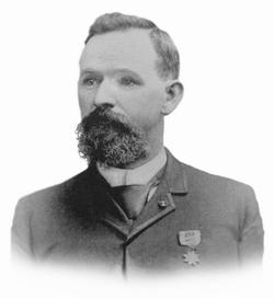
CAM09068velma_interiorLake Cunningham’s Champion, Velma Million, explained to me that the name of the park was the person who owned the property last before seized by the City of San Jose for flood control measures that would stabilize and help the entire Evergreen watershed known as lower Silver Creek.  James F. Cunningham wouldn’t be a pioneer or impressively long term resident of Evergreen, but he was quite a remarkable character on his own.  Truth is Cunningham would only come to Evergreen and San Jose in the later years of his life.

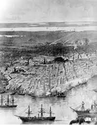
new orleansjf cunninghamBorn in Canada, Queens County, New Brunswick, in 1844, James F. Cunningham worked on the family farm before apprenticing for a merchandise store when he was thirteen.  Cunningham would then travel to Maine and enlisted in the United States Army to fight in the Civil War when he was seventeen.  James “Jim” Cunningham would be apart of the battle taking back New Orleans.  He saw battle quite a few times and was a well decorated soldier, serving in the GAR as a veteran.  After serving in the Gulf of Mexico through the Civil War, Cunningham would go to Brooklyn, New York, and open up shop.  If you can’t make it there…. Make it, Cunningham would.

]Jim Cunningham was wounded in while serving twice, and as a result, his health suffered even at the age of 25.  A young James Cunningham would close down his New York merchandise store and move South.  Cunningham would open another store in Missouri looking for warmer weather at the behest of his doctors.

james_f_cunninghamJames F. Cunningham then traveled in San Francisco in 1869 again for his health and again engaged in the merchandising business.  Cunningham would deposit all of his money from the Army, New York and Missouri into the bank and shortly after the San Francisco bank collapsed.  In 1870, Cunningham would loose all of his savings and need to be creative in his endeavors.  James Cunningham would get knocked down a couple times and manage to get back on his feet.
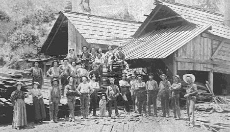
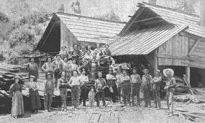
Cunningham Mill - Staff PosingJames’ brother would live in Santa Cruz County and be the closest family penniless James had.  Jim Cunningham would take advantage of homesteading laws and open government land in Santa Cruz County, in the Felton and Boulder Creek area.  James Cunningham would get his start making tanbark and shingles for roofs.  In just a few months, Jim cut and sold lumber, saving up $1,000.00 to open another store with a partner, H. W. McCoy.  Cunningham would become a part of many successful business ventures in Santa Cruz County between the multiple lumber mills and general stores.
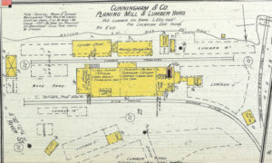
Cunningham Mill - 1892 Sanborn MapIn 1873, James would marry Sarah Glynn but the couple never had children.  James Cunningham would later be elected to Santa Cruz County office and represent Santa Cruz in the State Assembly in 1878.  The lumber business became very competitive in the 1880’s and Cunningham, being away so often, allowed himself to be bought out by partners.  He was too old to work on the Mill anymore, although Jeremiah may have managed for sometime after.  This print from the Lumber Mill is from 1901.

books cunninghamP1310186 (4)Don’t worry.  The force of nature that was James F. Cunningham never gave up even though he had enough money to retire into the sunset.  Cunningham’s sunset was the East San Jose farm and it wasn’t retirement.  The Cunningham’s ranch would be off of Cunningham Avenue and King Road, extending into Evergreen.  Cunningham may have hunted at the Lake named in his honor.  I found James F. Cunningham in the 1890 edition of Polk’s San Jose City Listing with his brother, Jeremiah.  Cunningham & Co. owned a general store off Market Street.  James would develop this land and sell a portion to his brother as seen in this 1902 map.  Jeremiah’s residence would be labeled JWC here.

James Cunningham would also known a large ranch in Mountain View, located at present day Moffett Field.

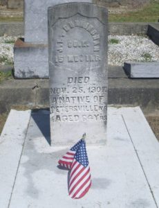
80492586_133783552796James F. Cunningham would pass away in 1907 at the age of 63, having a military honor at his burial.  His East San Jose farm would be worked by his brother for another twenty years after.  His brother, James F. Cunningham, was a warm, well-liked guy from many sources.  The Santa Cruz Surf said on November 25, 1907:

“For one who had made his way in the world from the bottom up by personal force and aggressiveness, ‘Jim’ Cunningham was a remarkably lovable man, and to him the people in his employ and of his neighborhood were notably loyal.”

Fowler Road and Creek

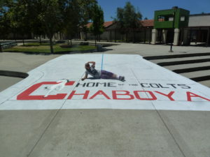
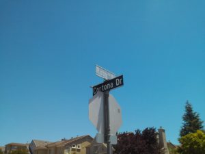
P1330025I work a lot at Chaboya Middle School, in fact its the first school I ever painted at.  People often ask, “Chaboya On Fowler Road?”  And I always say yes, but I know its address is on a different street.  Fowler Road is indeed very close by, but Chaboya is on Cortona Drive.  What’s the confusion?  It’s been redundant for me throughout my career, so I checked it out on behalf of the Evergreen Mural Walk.

1876 MapFowler Creek was named after Andrew Fowler, whom I’m enjoying getting to know.  The street was one of the first in Evergreen, as was the man.  We’ll discuss him in further detail later.  This road was built before Chew Lane/Aborn Road’s eastward section.  This 1876 map hasn’t put a name to the street, but you can see A. J. Fowler’s property along the south side of the road.  This was William Matthew’s portion of the attorneys fees paid out by Chaboya in his lengthy court battle.

In 1899, Fowler’s name finally appears on the road.  This Fowler Road runs all the way through.  It did when I was a kid.  What happened?  This is Fowler Road’s modern path below.

Microsoft Edge

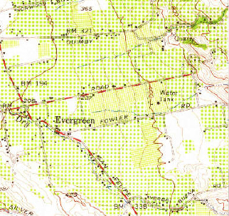
By 1956 however, Fowler is the straight thing I remembered it being as a child.  It ran east of Ruby Avenue.  This map cuts off the windy portion but it was a solid straight line.

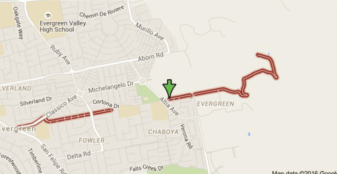
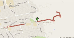
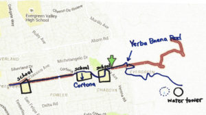
Below, Fowler Road is broken up into two parts and straightened out in portions.  There are switchbacks indicated on Fowler Road in 1899 on the Eastern zig zag which appear true on the modern map, but the road also ends sooner in the modern map.  It ends even sooner if you’re driving.  It ends at the straight spot.  This road kept going in 1899.  What gives?

fowler road san jose - Google Search

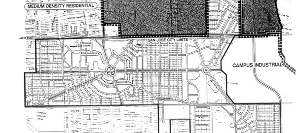
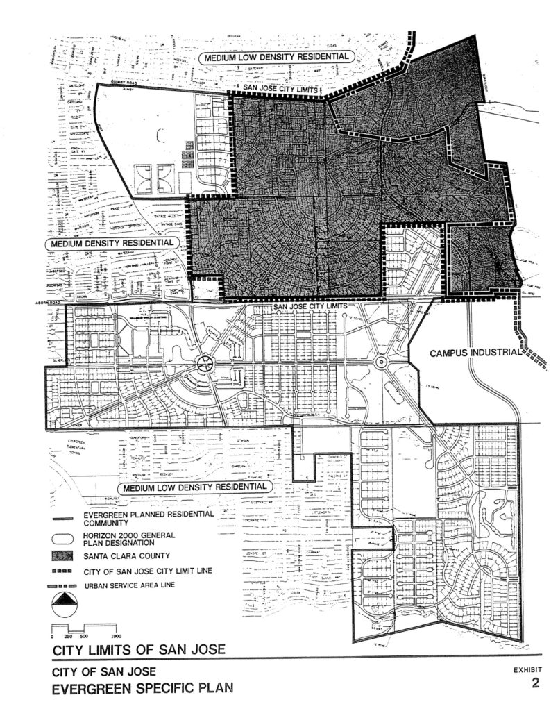
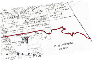
fowler road 2Here’s what gives.  New homes plans were put in place back in 1991 to get this area built out.  Before that point, in was rolling Mirassou vineyards and orchards.  Chaboya was built on Fowler Road in 1991, but the road’s path would change names as homes were built.  The new bend in the western part of the road came with the build out of the  the Classico neighborhood.  Historic homes still line the straight entrance, but then Fowler Road takes a turn towards the development and later becomes Cortona Drive.  Fowler Road would be built straight during the before 1956 but between proposal in 1991 and build out, something changed.  A portion of the existing Fowler roadway, which clung to Fowler Creek, would become Cortona Drive.  That’s the portion of Fowler which ran through P. Kelliher’s ranch in 1899.  Fowler Road then picks up on the other side of a small park on Chaboya Middle School’s East corner, where the road turns in the Western most part of H. W. Pierce’s acreage.  That’s where the arrow lands.  Today, Fowler Road straightens out, drops again and is private roadway after that.  You can see the windy road, but it appears to be shorter today.

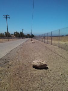
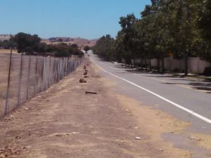
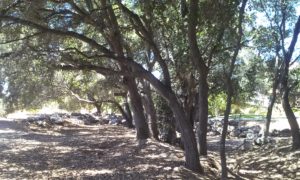
CAM11655 Gemellos, why did you think about that?  Cobble Stone.  Now that I’ve investigated Cottle’s Cobble Stone and now Cadwallader Avenue’s fallen cobble stone bridge, I know there’s something up in areas where I find it in volume.  It’s too heavy to clear and it was clearly a favorite of late 1800’s farmers marking their homesteads.  I was in between appointments around Evergreen and I stopped when I saw it in volumes all over this area.  In fact, I traced Fowler Road’s old path following the stone.  I started at the most eastern section I could legally get to.  I soaked up some rustic Evergreen treasures then saw this row of cobble stone.

CAM11651It feels like trail markers hikers make to let you know you’re headed in the right direction.  When I found this kind of cobble stone along Keaton Loop, I knew it was roadway markers.  This was something.  I wasn’t sure this was Fowler’s original roadway, though.  It’s not lining up with my understanding of the historic maps I’ve found.

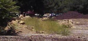
CAM11670I found it again on Yerba Buena Road.  Nothing creates perpendicular intersections up here in old Evergreen.  What am I seeing?   Every time I see this kind of rock, I know something is going on.  Just before I turned right and westward looking for Fowler Road again, I looked left and bang.

P1320018This water station was built out prior to 1956, and improved in 2000.  It controls flooding in Fowler Creek.  Fowler Creek now trickles in the winter but the homes are safe and the groundwater is saved for less than rainy days.  This is at the intersection of Altia Avenue and Yerba Buena Road.  This road looks like old Silver Creek Road, and would’ve been paved around the same time, being the same age.  This is a little better maintained and a little less traveled as a City of San Jose Water Station.   I think the stones were rolled over when the ranches turned into farms before they turned into home development.  This undeveloped area shows us what it used to look like.  That straight section of marker and present day Fowler Road is possibly the boundary of M. P. Ramus and Kellihore’s ranches in 1899.

CAM11678CAM11690So, I met up with Fowler Road at Chaboya Middle School and the marker continued.  Heading West, the Cobble Stone reoccurred at Fowler Creek Park.  Makes sense.  Evergreen used Cobble Stone to protect from flooding.  Fowler Creek would be dammed up by cobble stone in several sections.  Today, Fowler Creek only trickles in the rainy season.  That makes sense, too, because the Creek is captured by a water tower at its most eastern and uphill point.

CAM11692And then I started feeling silly because I’m excited about rocks.  I followed it all the way to Ruby Avenue and Cortona Drive, once Fowler Road.  So, what part of Cortona is old Fowler Road?

Let me get nerdy for a second, find north on each map and scale them.  There.  So, what happened?

fowler road san jose - Google Search

Maybe a little clearer still, with the paths traced on one map….

scan0167-1Fowler Road’s path was straightened through the early 1900’s then altered by the schools built to service this growing Community.  Evergreen School would have a horse tie up instead of a parking lot for a long time.  The District Office was originally located there along with the school but as time went on, a larger school was needed and the office moved.  Many District services still operate out of this office, though.  Matsumoto Elementary School was also built on the Fowler Road path.  When people ask me about Chaboya on Fowler Road, they mean built on top of Fowler Road itself.  They were more correct than I ever realized.  The cobble stone I observed was in the Yerba Buena Road portion of one time Fowler Road.  The changes that occurred over time were fairly straight forward and made the road more useable.  It’s cobble stone roots are still showing on both Cortona Drive and Fowler Road today.