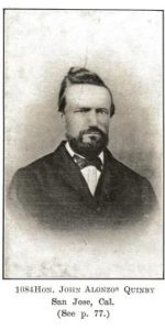
 Quimby Road, from its 1860’s creation, has been an artery into the town of Evergreen, intersecting with historic White Road and King Road for over 150 years now. We’ve discussed previously in Evergreen Mural Walk’s blog Evergreen’s Own Mayor Quimby. John Alonzo Quimby, San Jose Mayor, is indeed the roadway’s namesake, whose second home outside of downtown was here in Evergreen in the 1860’s. Quimby Road on our Best Drives List, however, is host to many powerful stories and breathtaking vistas.
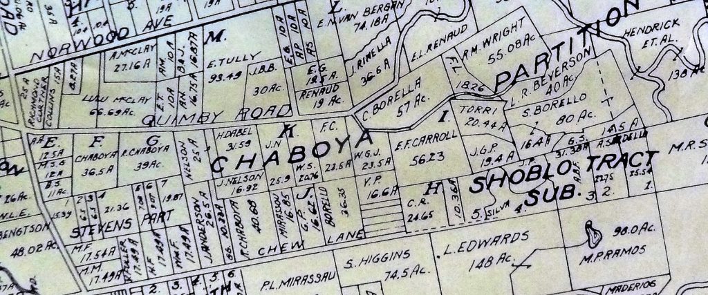
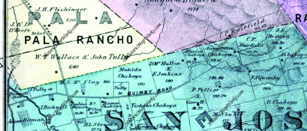
We’re looking at Quimby Road from the familiar now 1899 map, which I found at Evergreen Valley College’s library in the Heritage Room, curated by Colleen Cortese. Let’s talk about what these parcels are now.
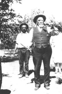 You can see White Road further left. Left is west and a pinch south. White Road runs North and South and Norwood Avenue, running off the map here, ought to point directly East. The right of the adjacent Chaboya properties, belonging Ramon Chaboya, is the Evergreen School District Office and Quimby Oak Middle School. This is Ramon, or Raymond, Chaboya to the left here. The western border of the western, or left, Renaud property is Ruby Avenue which later builds through to the Mirassau or Mirassou property on Chew Lane, which became Aborn Road. This is a particularly interesting tid bit because of the Pellier lineage
.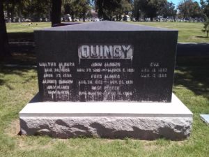 The roadway was named for the one time Mayor, long time civil servant and Evergreen rancher. Strangely enough though, the Quimby Family property, in the family as shown above, isn’t located on Quimby Road in 1899. It appears to have been downsized and passed down to the Quimby’s daughter, then Mrs. Wright, lived on Chaboya Road. Can I be honest with you? This M. Wright parcel feels more like the corner of the Pellier Ranch. The straightened portion becomes Murillo Avenue and the offshoot of Chaboya Road is there. This is where the Sikh Gurdawa is today. It would’ve outline the neighboring Pellier Ranch in 1876 and become the driveway by 1899.
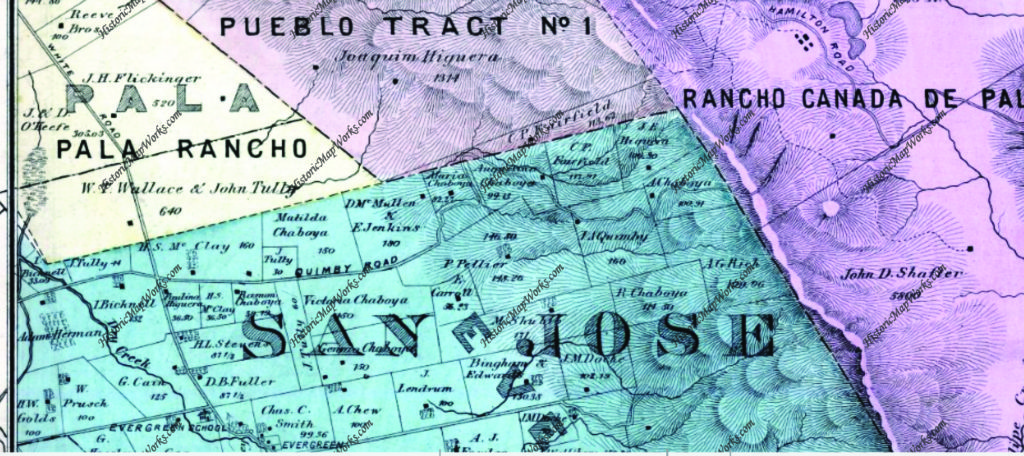
We’re going to look back at Quimby Road again, but this time in 1876. I’m going to tell you that this zoom out is very deceiving. The properties will appear to be the same size, but that is not the case. They’re much larger and fewer. They’ll just be bigger. Check the acre size on the Ramon Chaboya and the McClay/Chaboya parcel to be sure. Ramon Chaboya’s are both 39 acres. The McClay/Chaboya parcel on Quimby Road is 36+ acres.
As stated above, Quimby Road connected Evergreen to downtown at its Northern end as Evergreen and Chew Lane did on the South side. The portion of Tully Road where Quimby Road first appears was also known as Quimby Road. This section was soon after renamed for the prominent businessman and landowner, John Tully, Lake Cunningham were developed. You can see Cunningham on the Wallace & Tully parcel in yellow. Tully Road would divide this property in half.
Along the dotted line, Norwood Avenue would’ve been built and Tully Road would border the Wallace Tully property to the North. This is considered the boundary of Evergreen itself.
 During the 1870’s, the Chaboya’s would spread out along Quimby Road with large ranches and a driveway that would later become Murillo and Chaboya. Into the 1890’s the family would downsize and swap parcels with neighbors like the McClays, who would also downsize over the years as it passed down to later generations. The Kettmann’s were upsizing, purchasing Mt. Hamilton land for goat herding, and surely used Quimby Road and Mt. Hamilton to get there. The widowed Mrs. Tully was buying up property. Also seemingly moving out of the Evergreen area is the Pellier Family, which couldn’t be further from the truth.
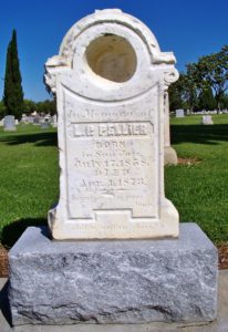
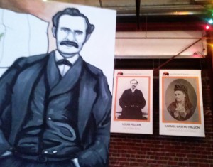 As we discussed before in RIP Louis Pellier, detailing a gravestone mix up, the Pierre Pellier family lost their budding male heir at the age of 16. This was a huge blow for Mr. & Mrs. Pellier and their daughters , soon after the death of Pierre’s brother . There wasn’t another son. Uncle Louis and his wife would have no children. Uncle Jean would have children. He is the only one who would carry on the family name. But the Pellier daughters would step up, marry well and pass on their family lineage and French heritage.
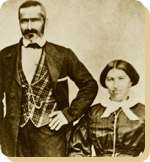 Mrs. Pellier’s distant family members, the Renaud’s, would move in near the French immigrants and begin planting vineyards on Quimby Road. One Pellier daughter would marry into the Renaud Family, third cousins or further removed. Elise Pellier would marry Alfred Leon Renaud and have eight children in 17 years on a Quimby Road Estate. In fact, Alfred Renaud would’ve passed away before Rose knew she was pregnant with their last child in 1901. I think a Renaud property is across from Evergreen Valley High School, but the larger E. L. Renaud property may stand for Elise Leon Renaud. In fact, there are still grapes grown here. The homestead may have been across Evergreen Valley High School while the grapevines grew up the street.
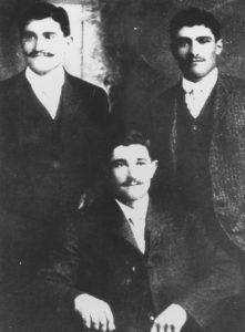 Again, a Pierre and Henrietta Pellier daughter would marry a French transplant moving to the Santa Clara County to engage in agriculture. Pierre Mirassou would marry Henrietta Pellier, the eldest daughter, and a wine dynasty would be born from their union.
Pellier Daughter Josephine would marry Mr. Michael Casalegno, an Italian immigrant, and have six children on the Pellier Ranch. I got to see their house, which has been moved and preserved within Evergreen. This would’ve been the Pellier’s home at one point. The largest ranch in Evergreen would again break up and become many of the largest ranches in Evergreen. The awesome ending to this Evergreen story is that it doesn’t end and they continue to raise new generations in Evergreen today. Rad.
I also need to confirm another historic Quimby Road lead that one of the Rinella daughters, a large Sicilian, Italian family, would marry into the LaMantia Family. Mr. LaMantia would maintain orchards of his own and the vineyards for the Evergreen Cribari Winery.
Back to Quimby Road in the late 1800’s, though. It would’ve been paved fairly early as an alternative route to James Lick Observatory. Alum Rock Road’s construction would have to be innovative and swift so the Observatory could begin its construction. Evergreen’s awesome drives and almost unchanged roadways have a lot to do with East San Jose and the Observatory’s development in Santa Clara County. Suddenly Evergreen’s thousands of residents were receiving a little more love from its Department of Transportation.
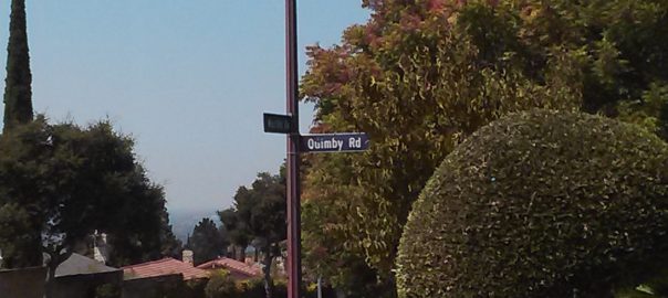
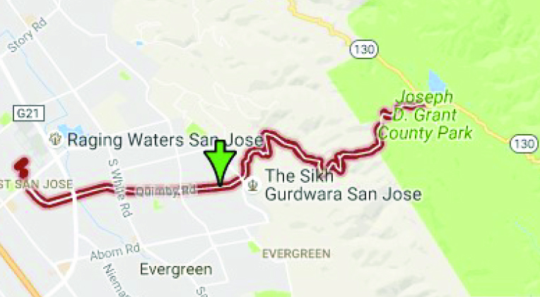
Let’s see if Quimby Road has changed much. Here it is today.
And the side by side. Can’t find it earlier than 1876.
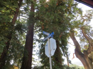 The Evergreen artery, Quimby Road, has had some updates. I think there’s been two path changes in Quimby’s 150 year history. The first is the part of Quimby Road that now runs through to Mt. Hamilton Road. In 1876, it merely ran through Evergreen or up to “the Summit”. That was the boundary for Rancho Yerba Buena and is the color change at the end of each Quimby Road. This area simply didn’t exist before. Mt. Hamilton Road’s path too has been softened over time.
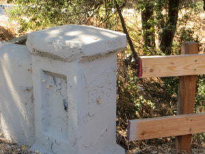 The second place updated is where I’m thinking is where I found evidence of it in a bridge. Quimby Road crosses creeks many times and therefore would’ve been washed out if unpaved or poorly maintained. This update would’ve taken place adding a second and steeper hump between the J. A. Quimby and A. Chaboya in the 1876 map. This was cleary updated in 1935. I’ll have to find out when Quimby reached Highway 130 and see if they happened at the same time.
One thought on “Quimby Road – History”